The library
Fifty-two entries — genera, species, supplementary features and the optical phenomena that ride along with them. Photographed plates, in order of altitude.
High — above 6,000 m10
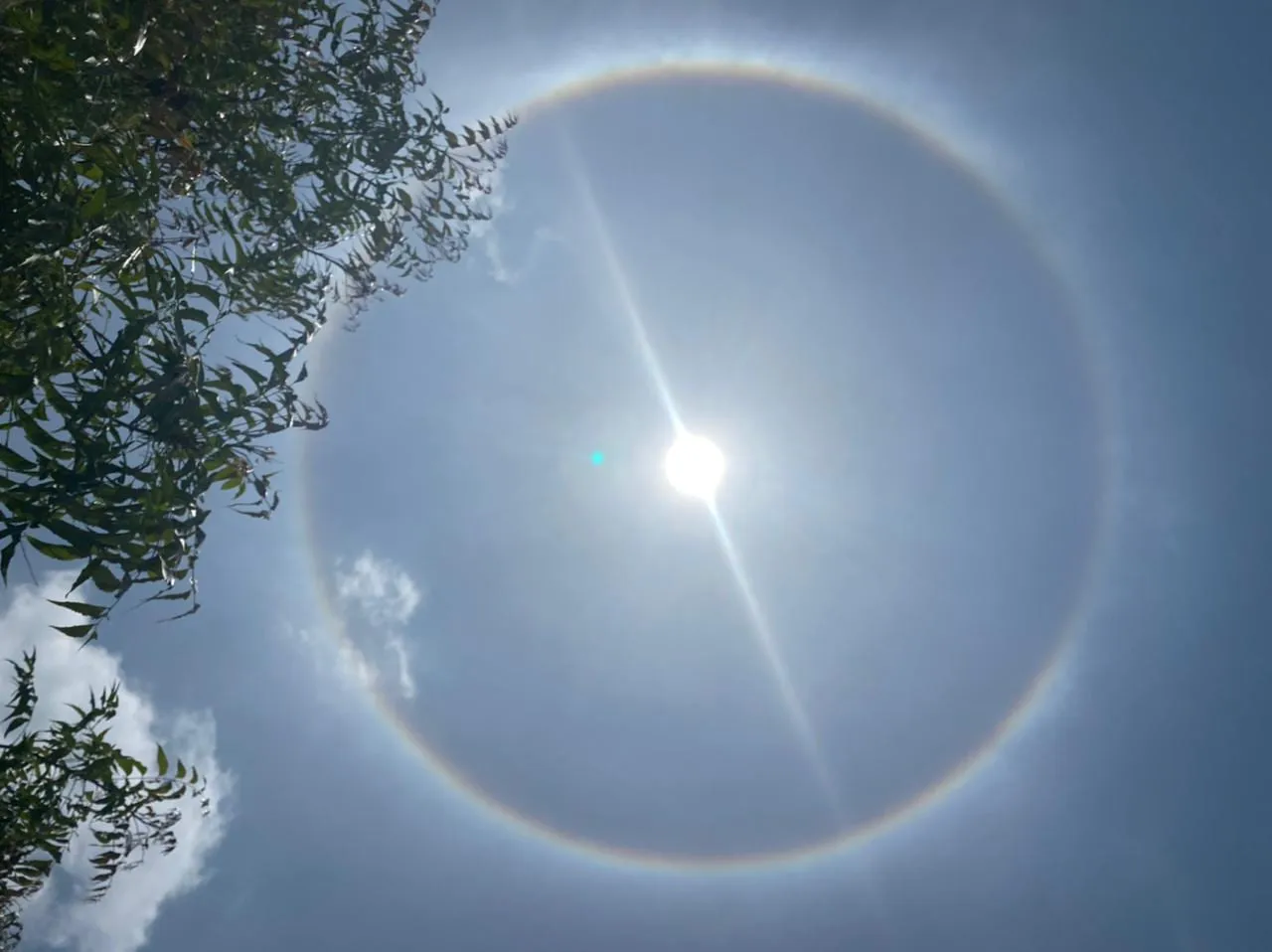 22° HaloIIIOften an early sign of an approaching warm front - rain possible within 12-24 hours
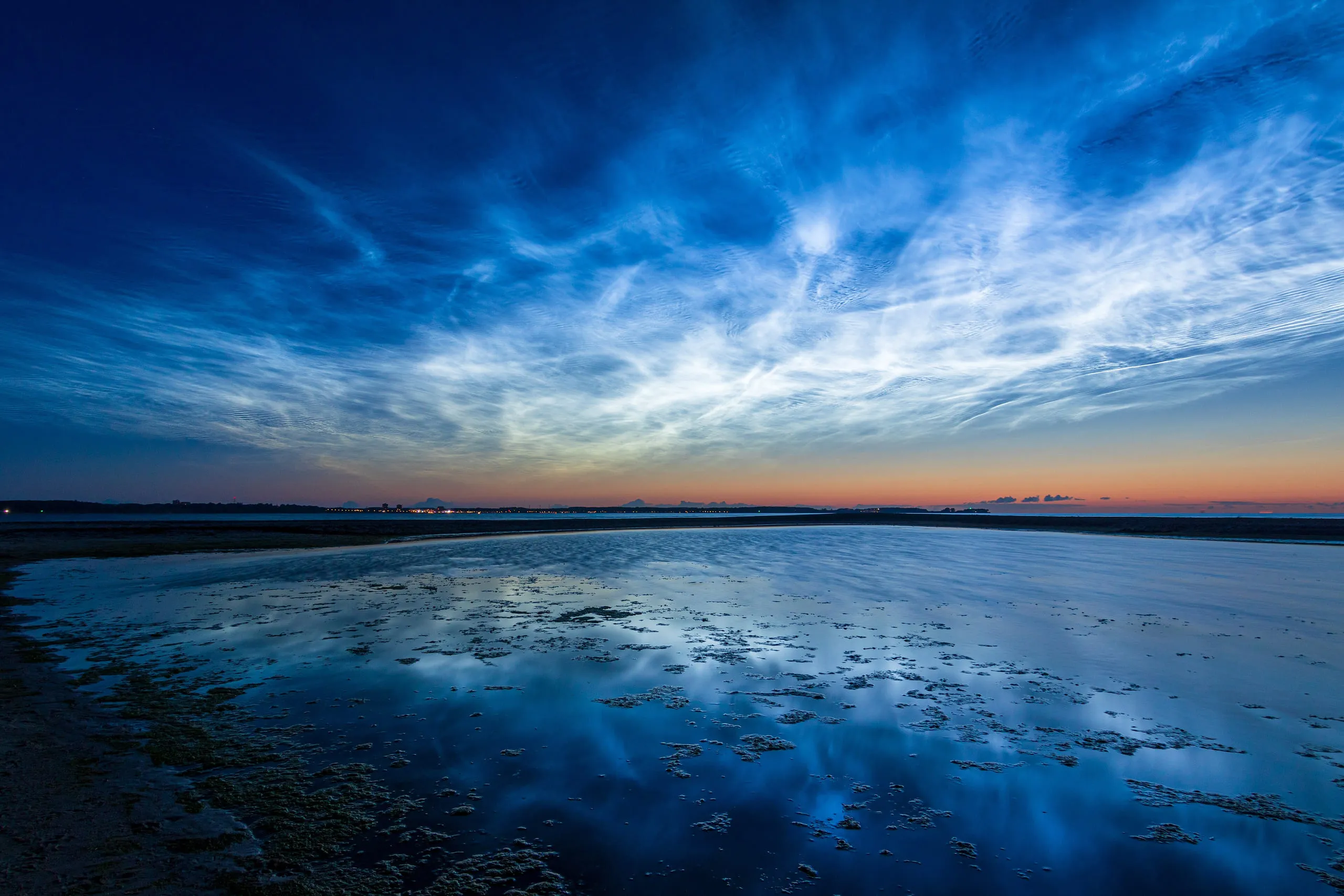 NoctilucentIVNone - forms far above the weather, in the mesosphere
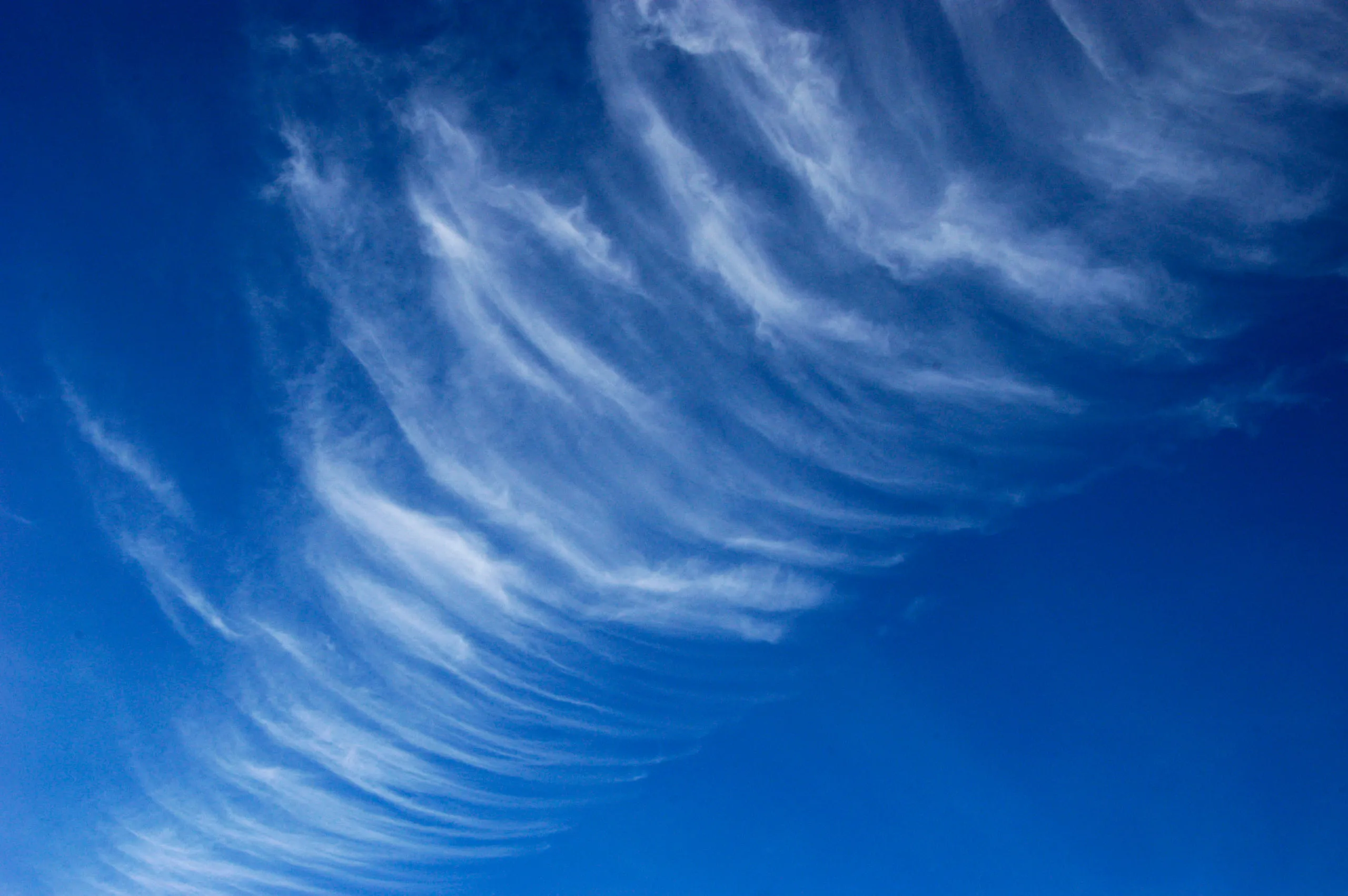 CirrusVIFair weather currently, but may signal approaching warm front
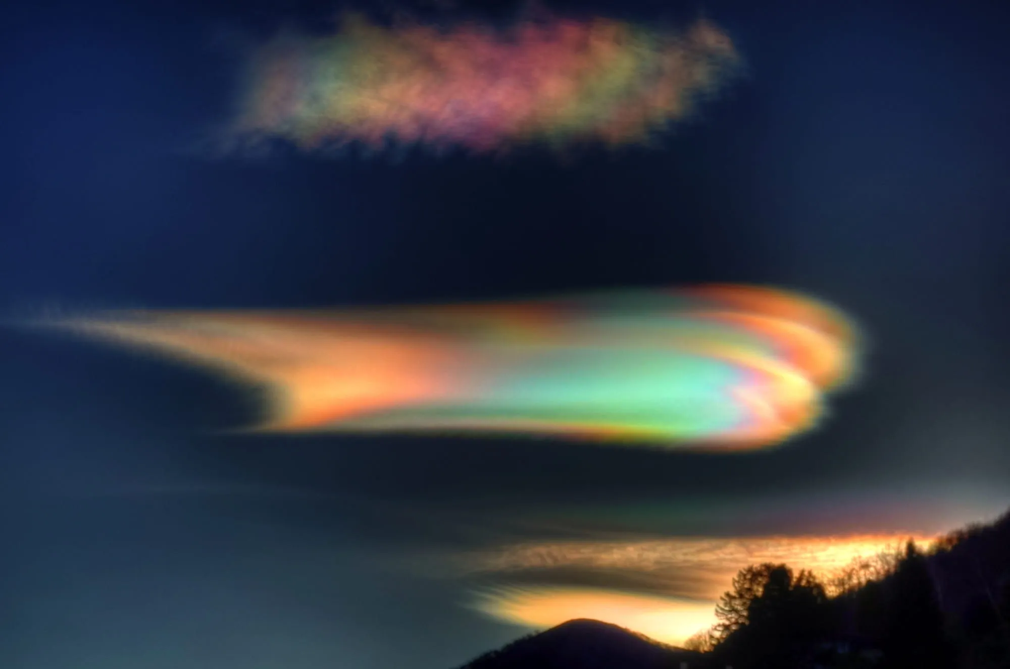 NacreousXIIINone - forms in the polar winter stratosphere, far above the weather
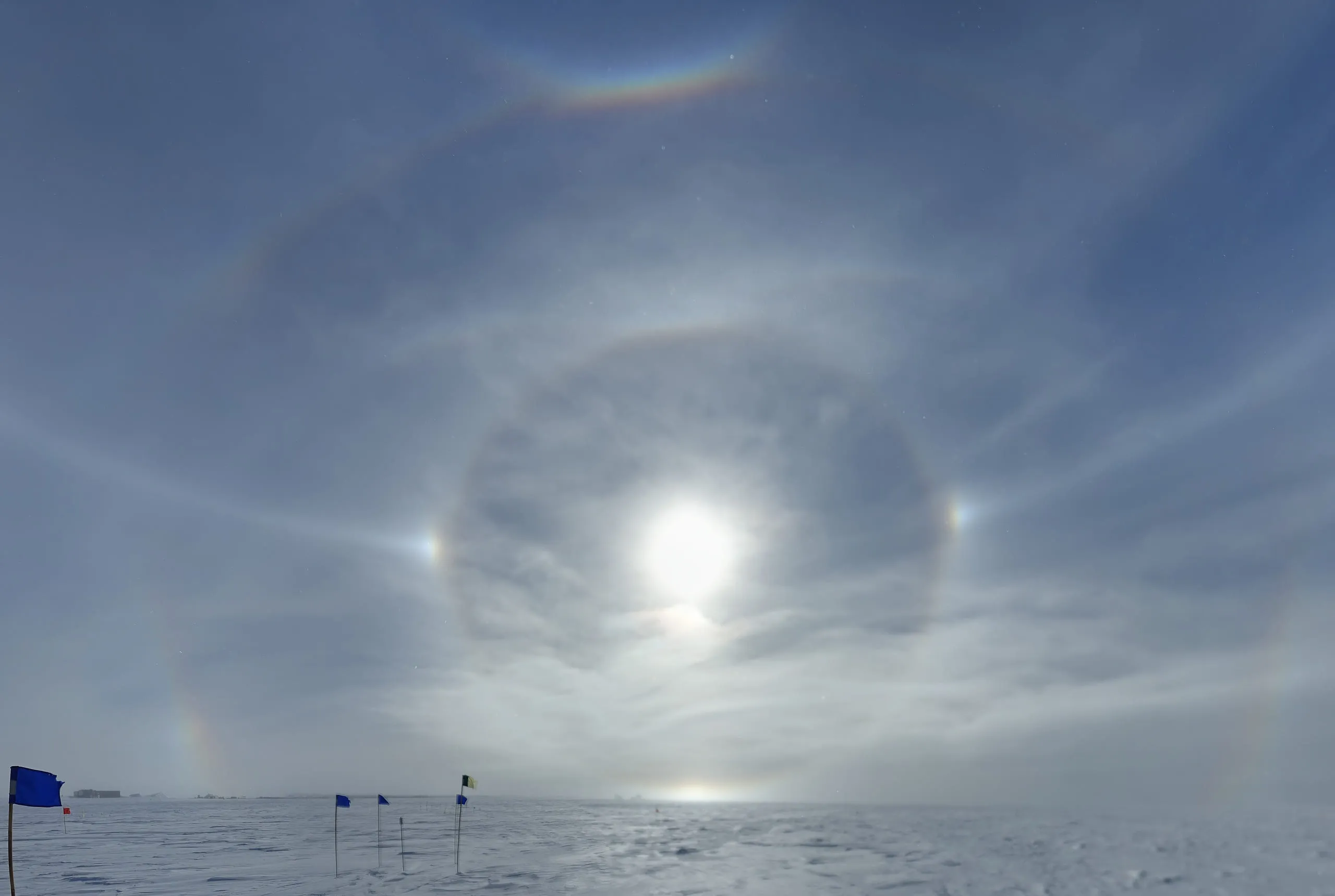 Sun dogsXVIIHigh cirrus moving in; can precede a warm front and rain within a day or two
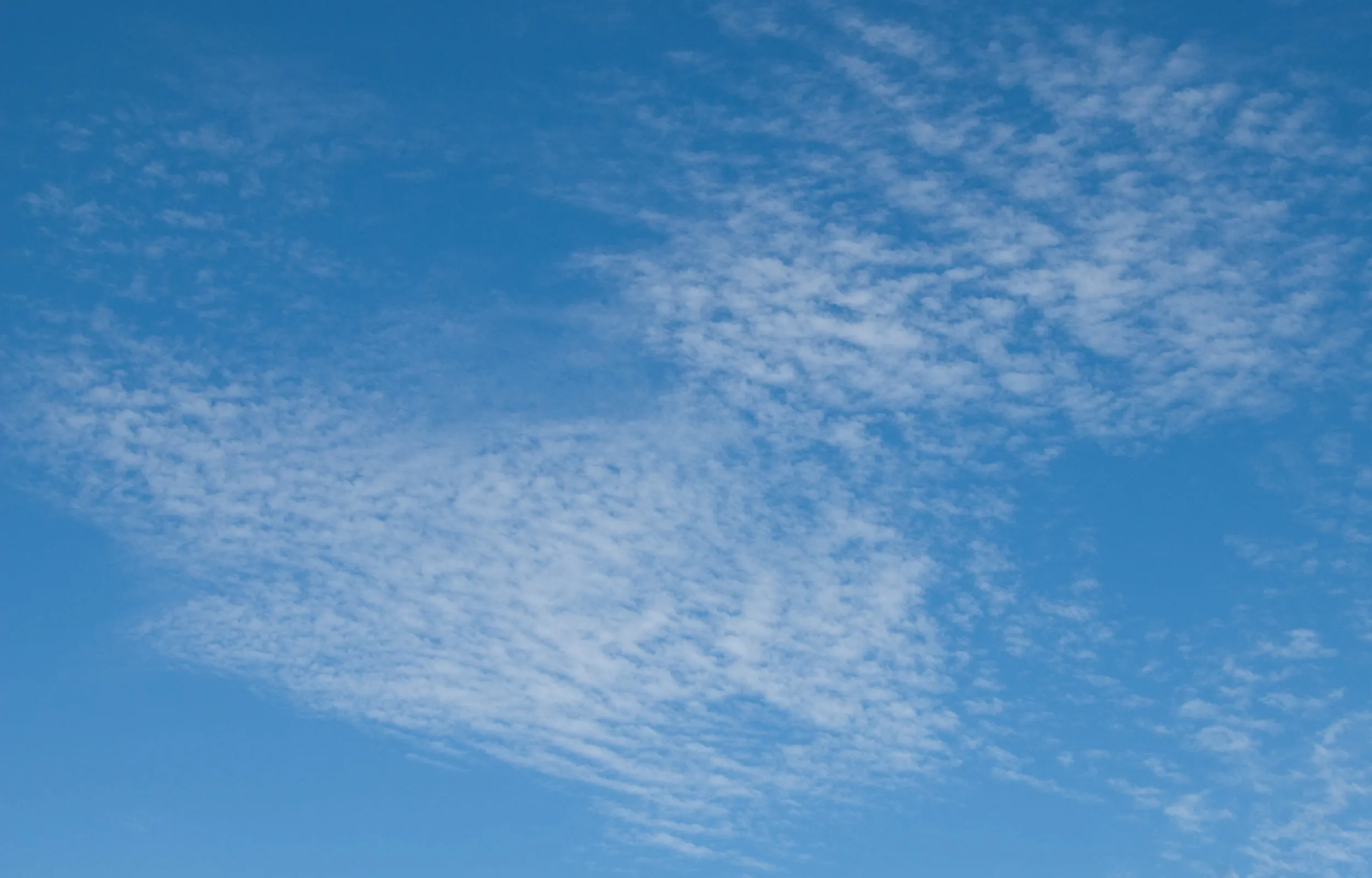 CirrocumulusXXIGenerally fair weather, but may indicate approaching front within 24-48 hours
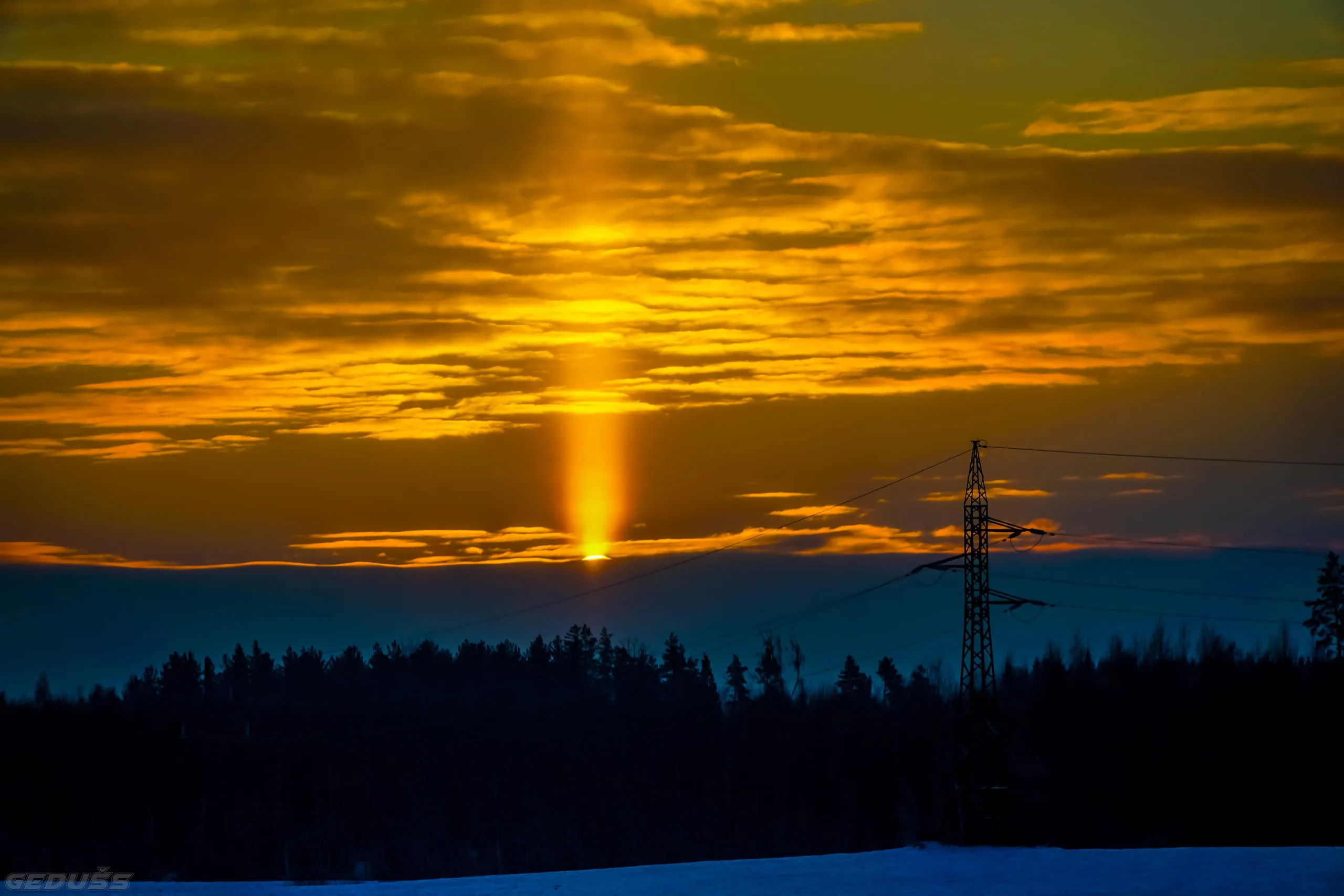 Sun PillarXXVIIIIce crystals or diamond dust in the air; often bitterly cold
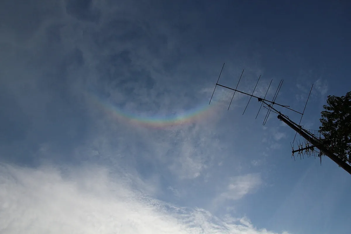 Circumzenithal ArcXLIIHigh ice cloud with a low sun; can precede a warm front
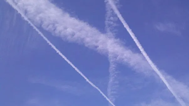 HomomutatusXLVIHumid air aloft preserving contrails; can precede a warm front
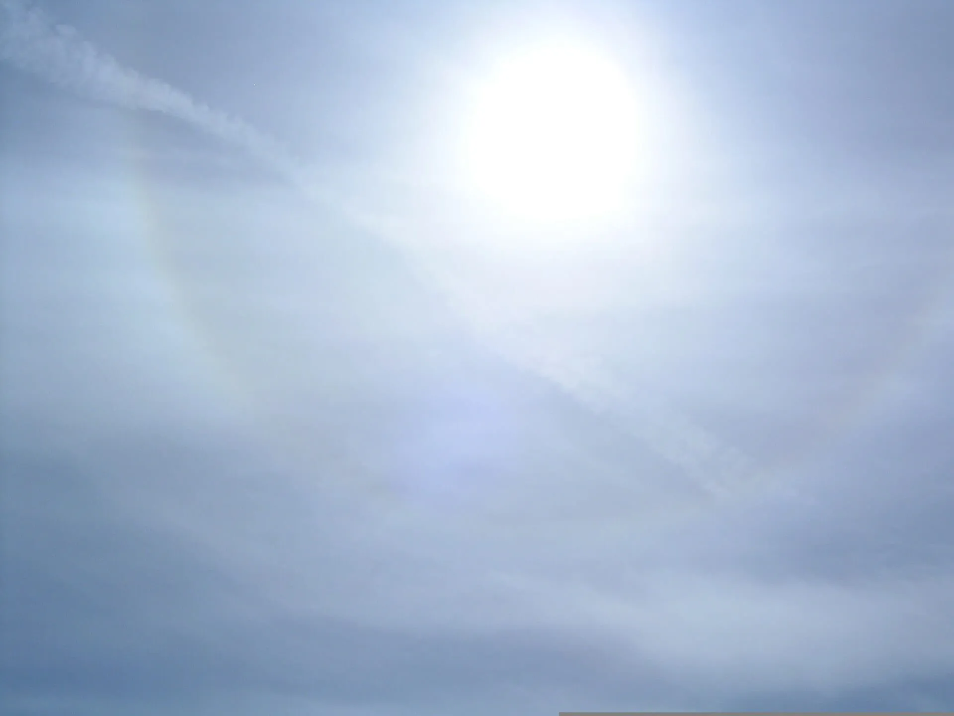 CirrostratusXLVIIIRain or snow likely within 12-24 hours; often precedes warm fronts
Middle — 2,000 to 6,000 m18
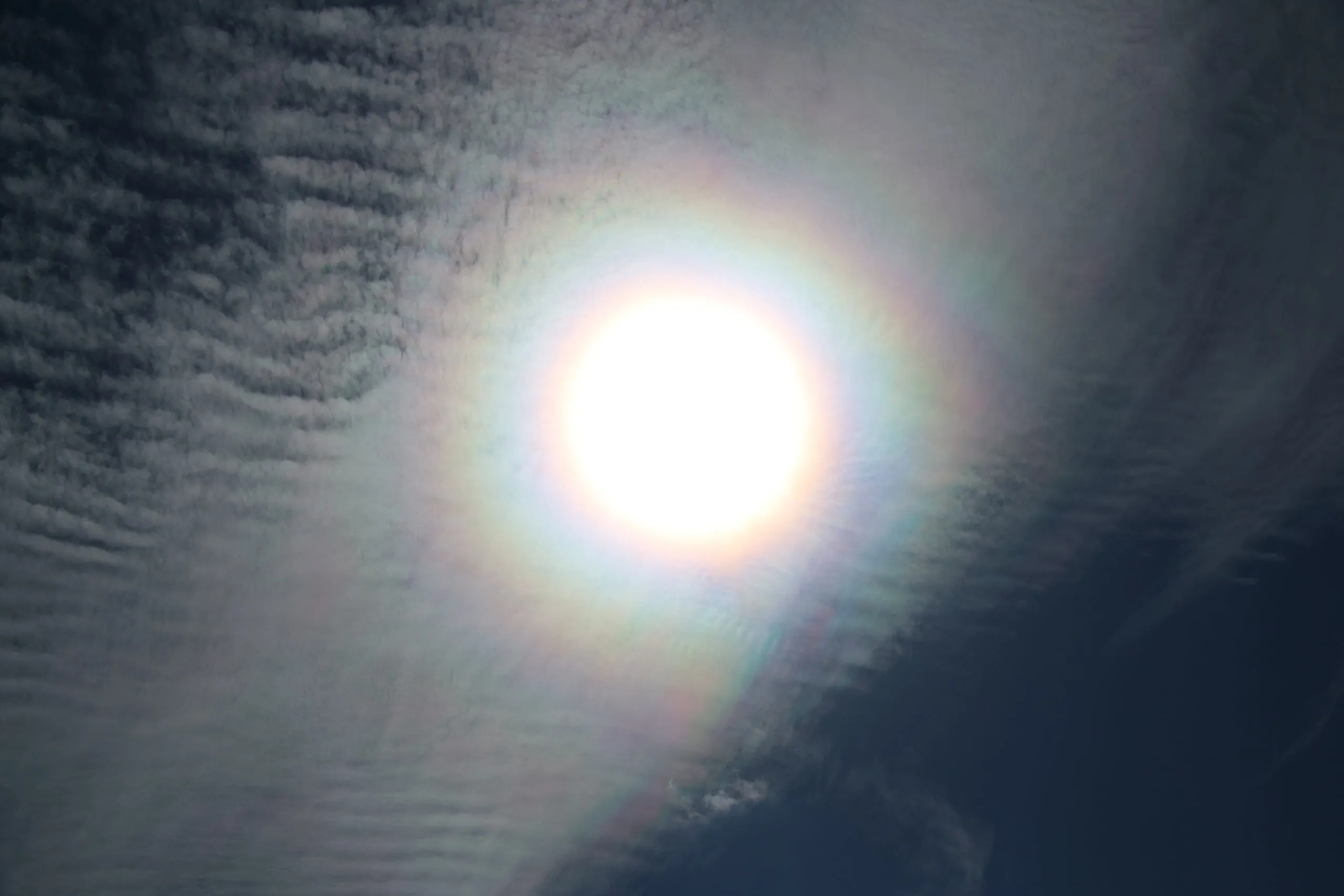 CoronaVIIThin cloud crossing the sun or moon; little weather significance on its own
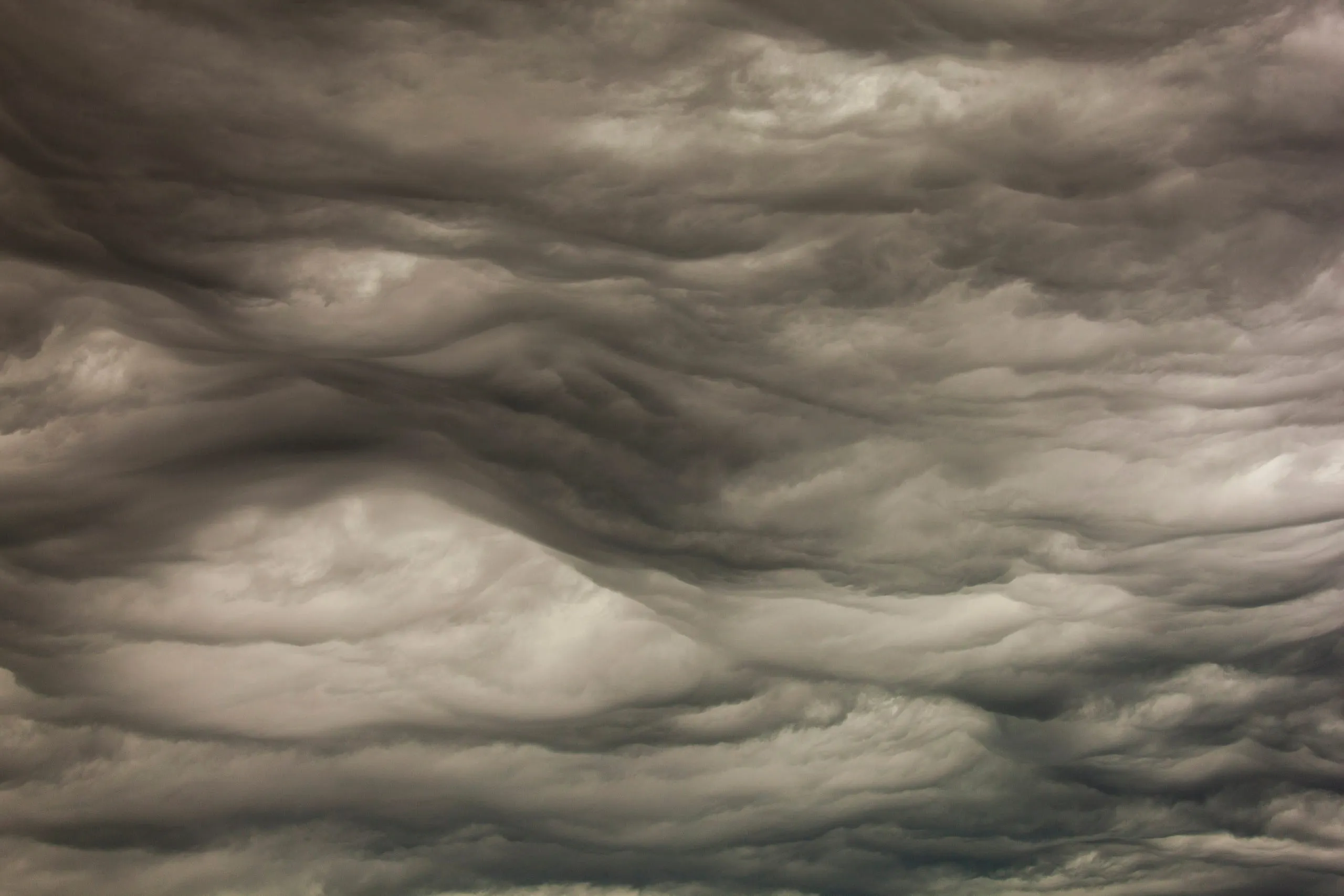 AsperitasXUnsettled, turbulent air, but usually disperses without a storm
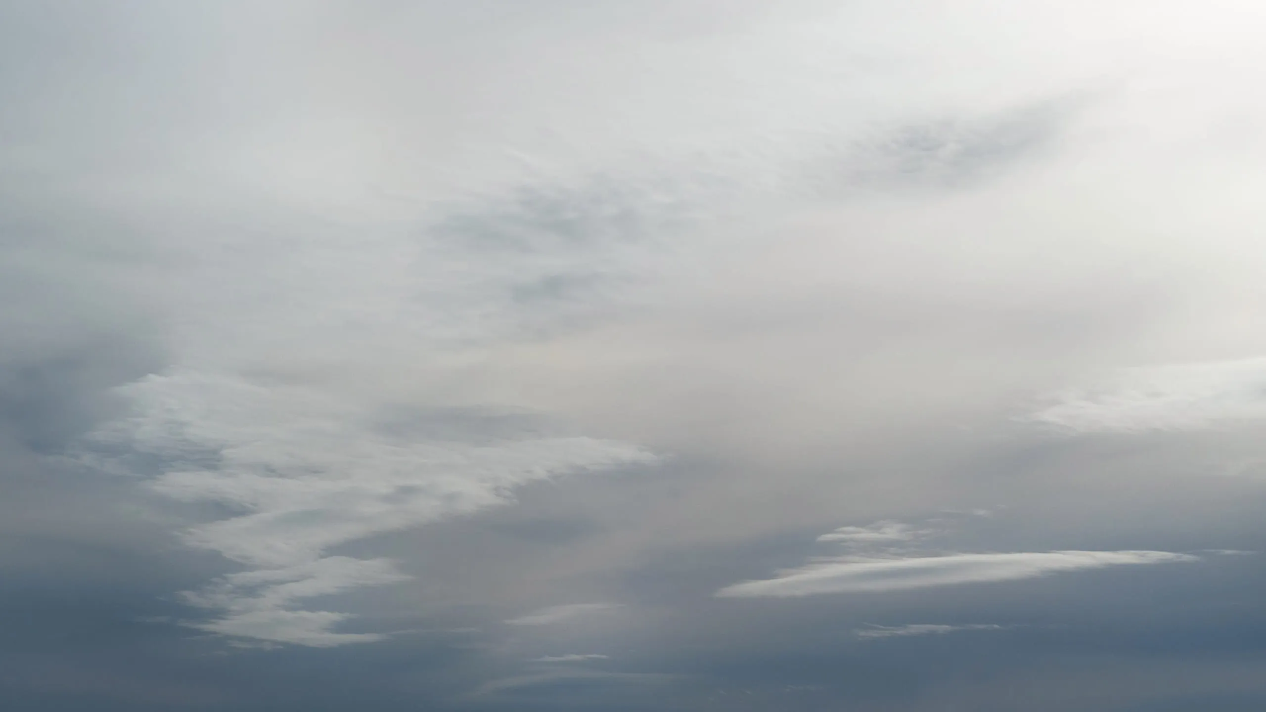 AltostratusXVIRain or snow likely within 12-24 hours
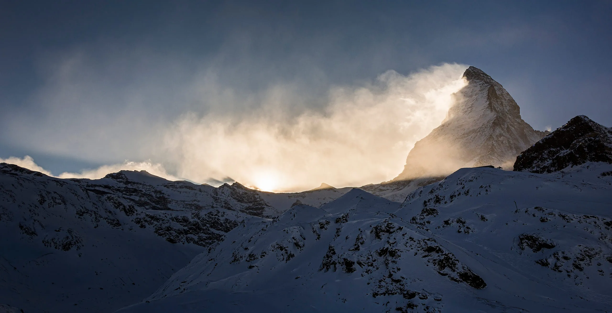 Banner cloudXVIIIStrong wind streaming over a sharp peak, otherwise clear
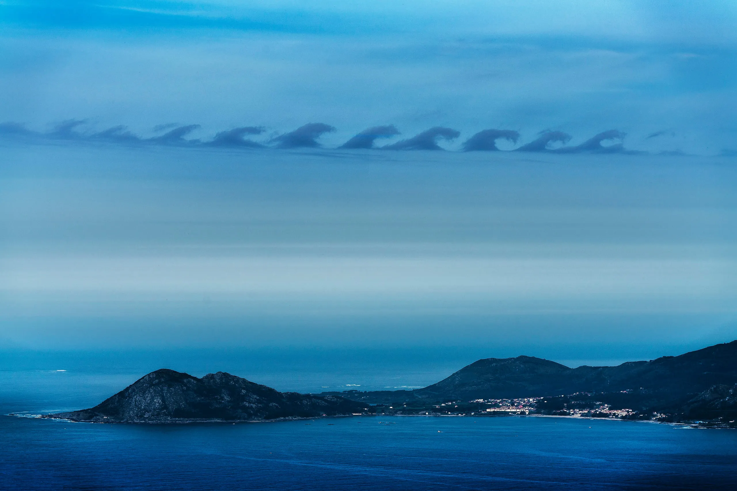 Kelvin-HelmholtzXIXStrong wind shear aloft; little direct weather significance
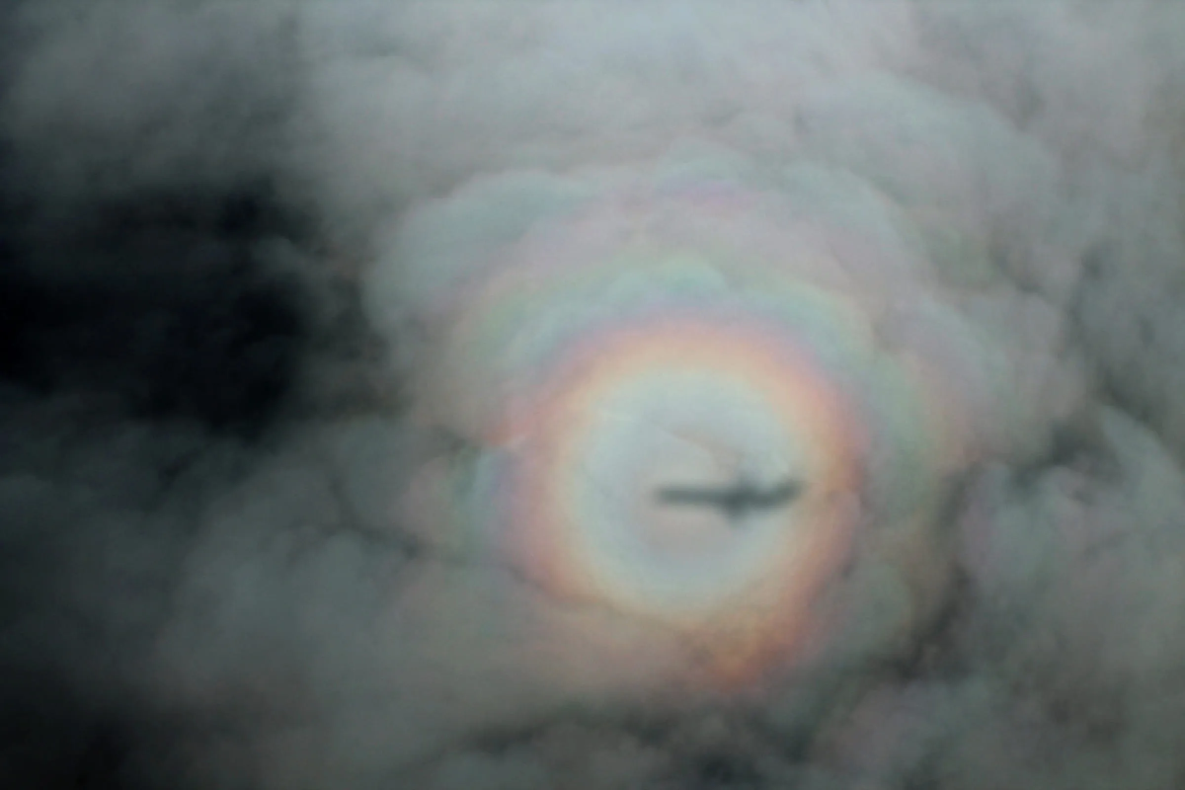 GloryXXThin cloud or fog below you with the sun behind; no weather significance
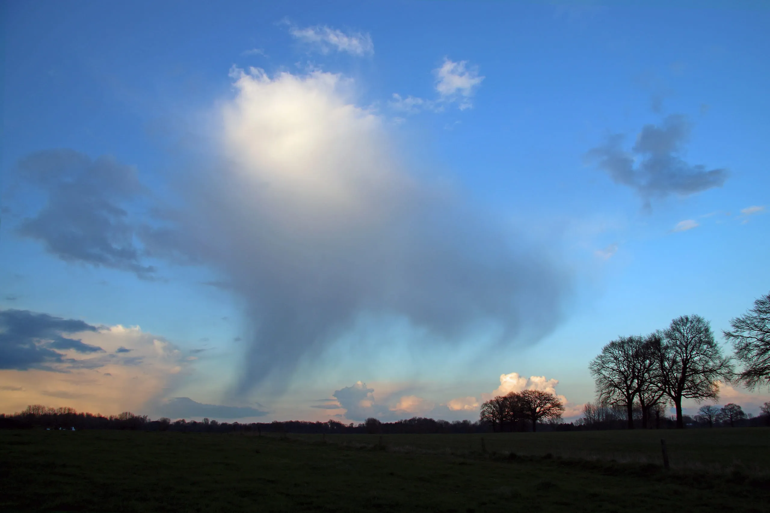 VirgaXXIIDry air below the cloud - rain is evaporating before it can land
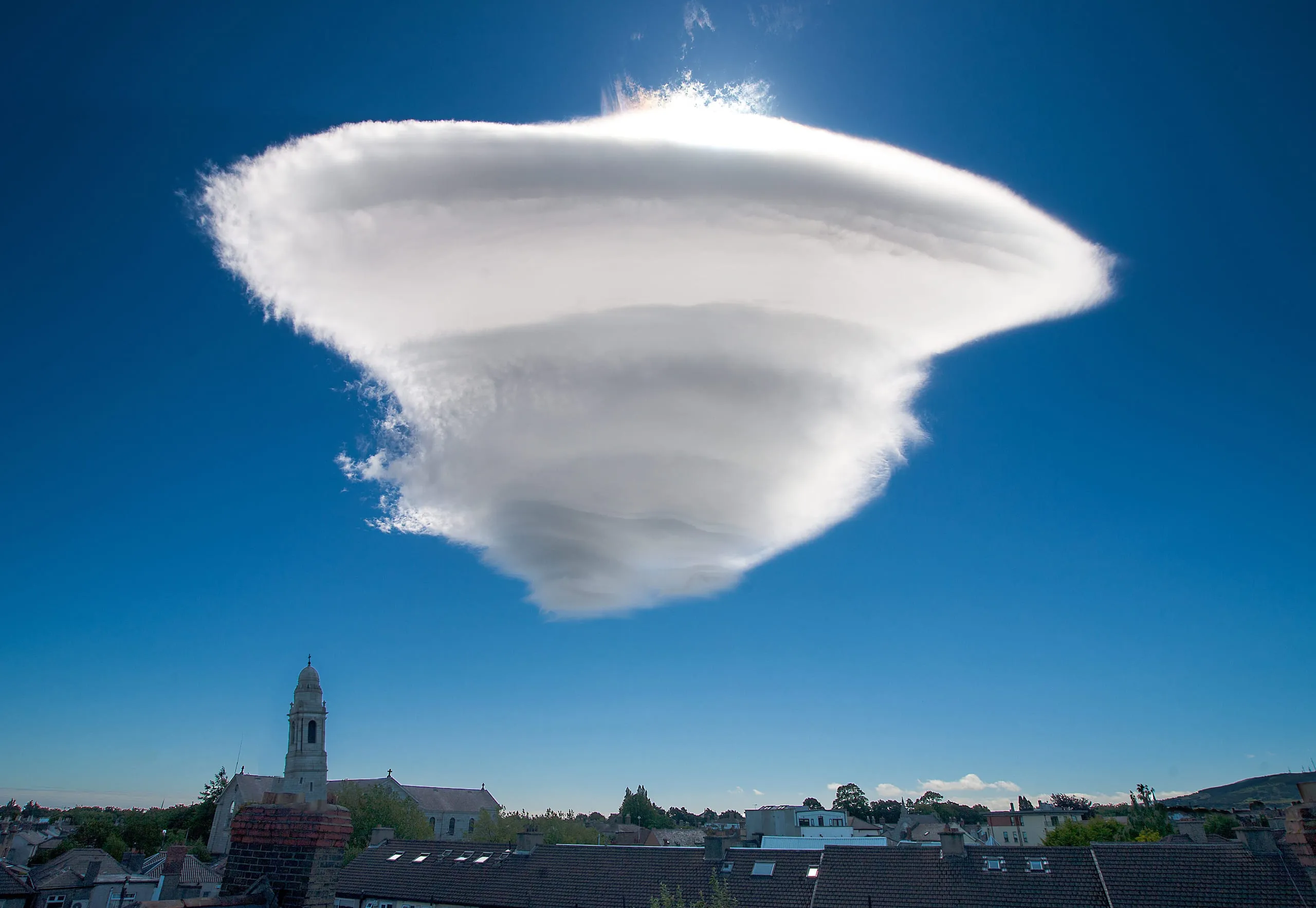 LenticularXXVStrong, moist winds crossing high ground; turbulence likely aloft
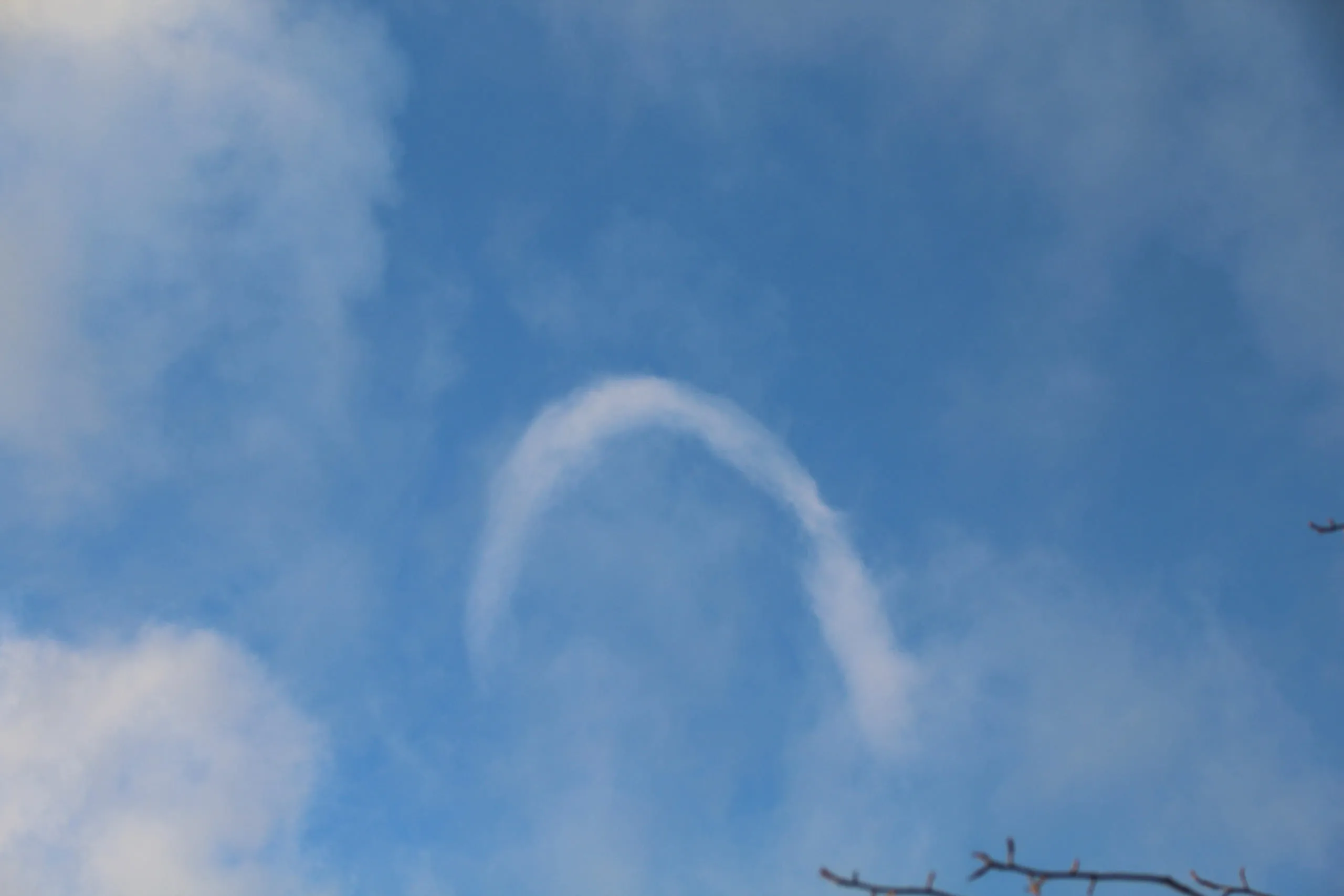 Horseshoe VortexXXIXDaytime thermals with wind shear; fair but breezy
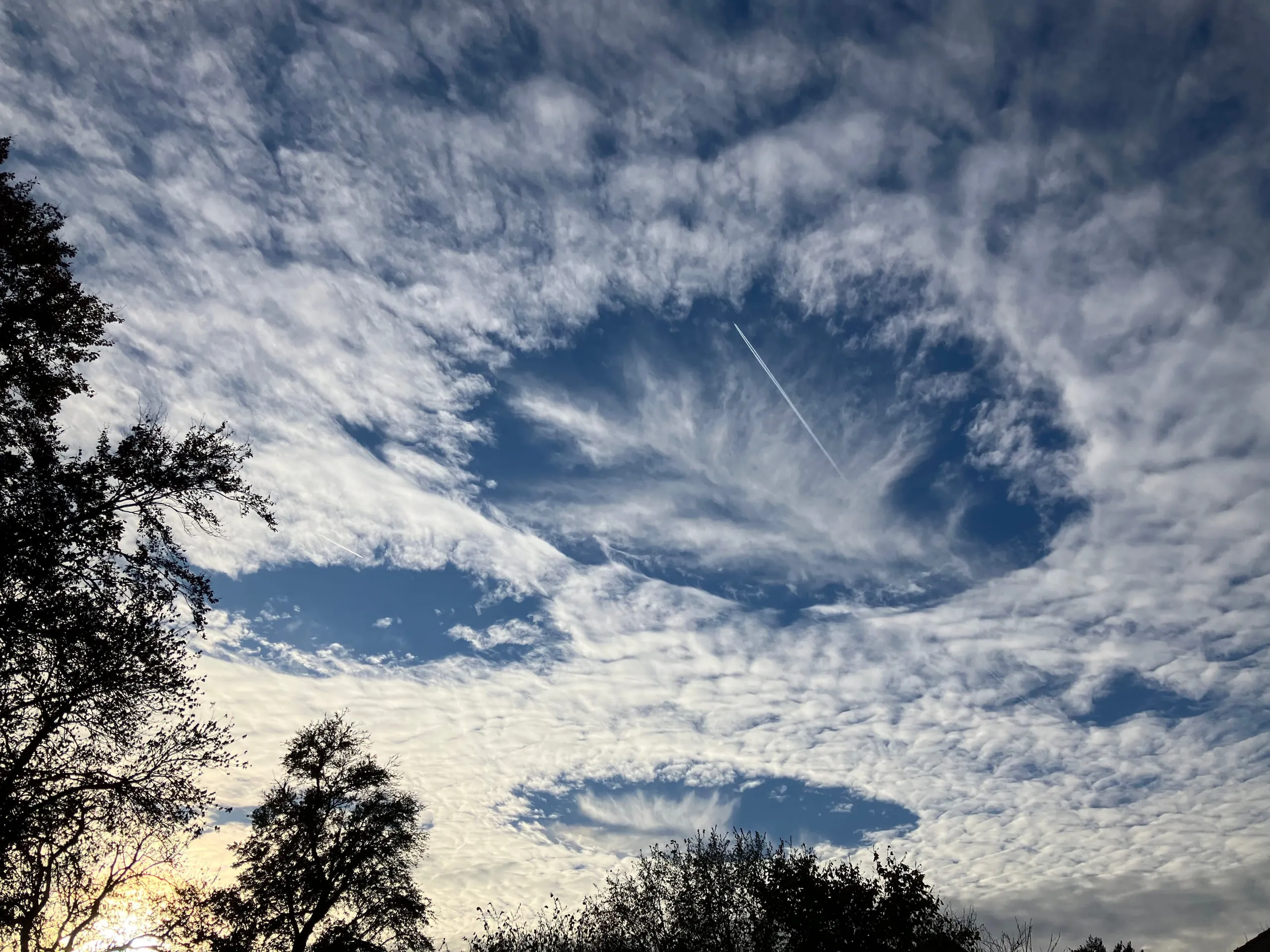 Fallstreak HoleXXXThin supercooled cloud, often near flight paths; no significant weather
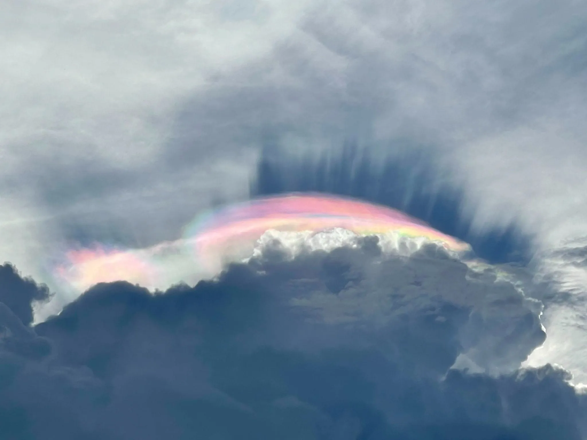 Cloud IridescenceXXXIIIThin cloud near the sun; no weather significance
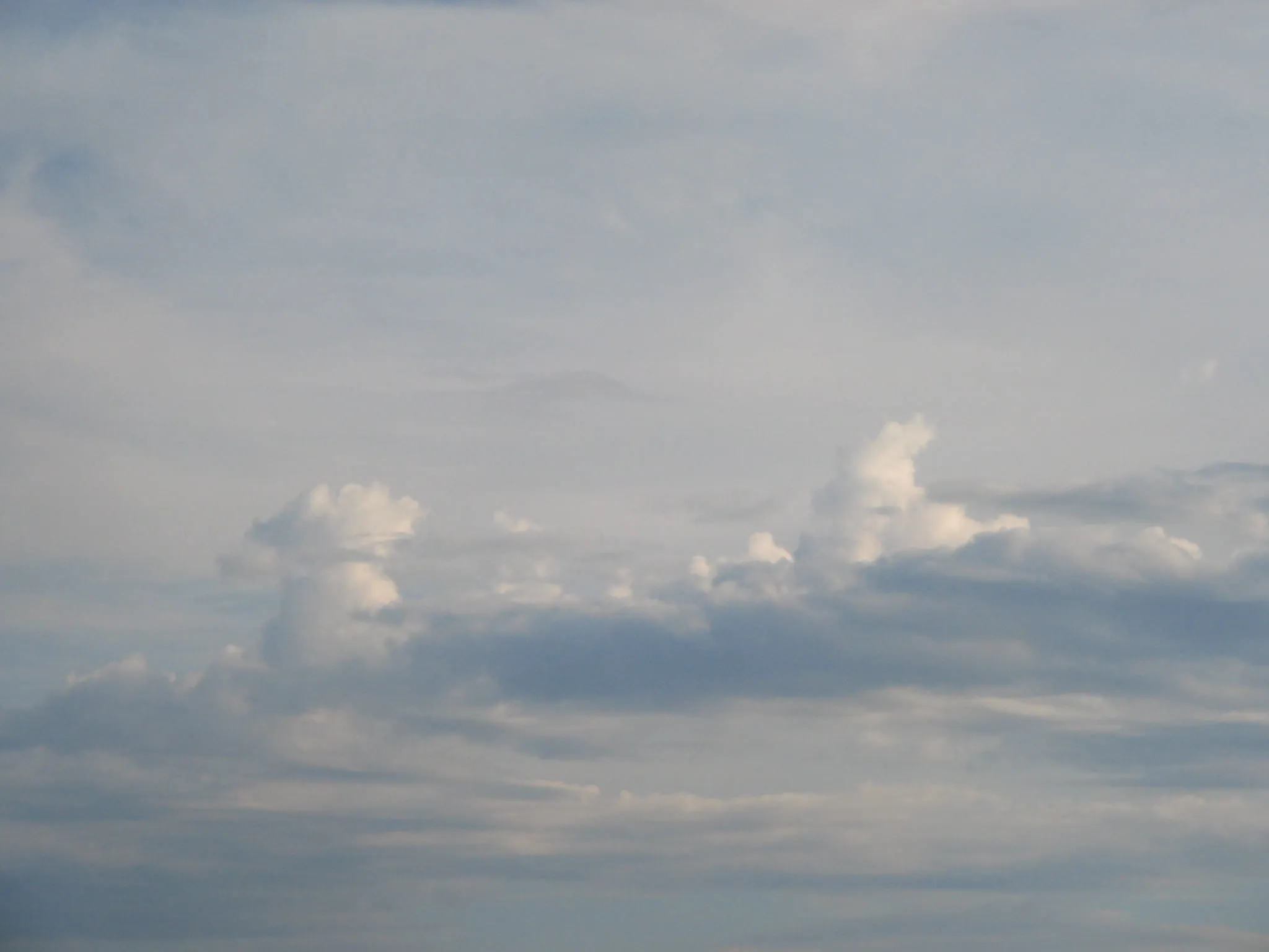 CastellanusXXXVMid-level instability; afternoon thunderstorms may follow
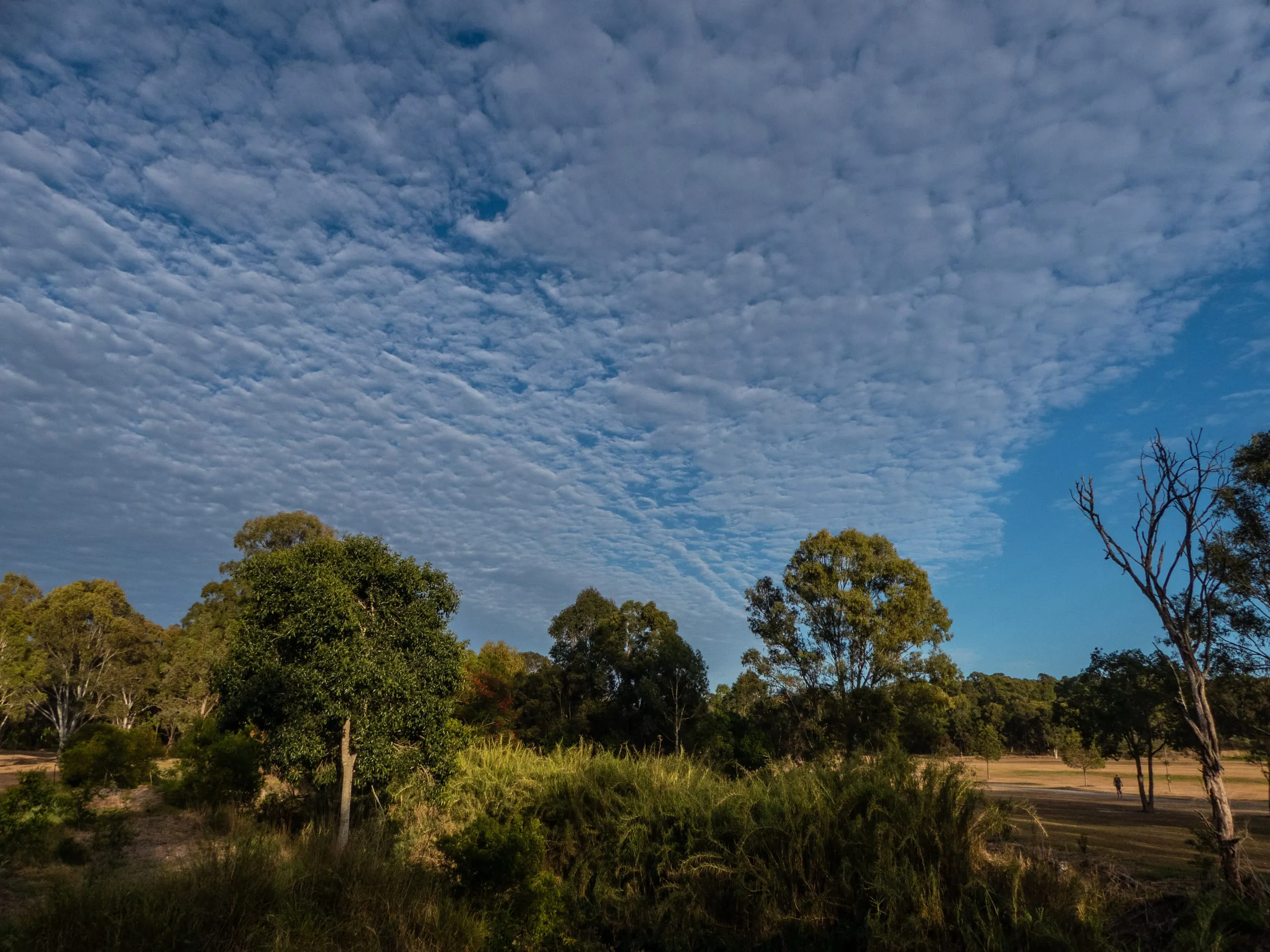 AltocumulusXXXVIGenerally fair; morning altocumulus on humid days may signal afternoon thunderstorms
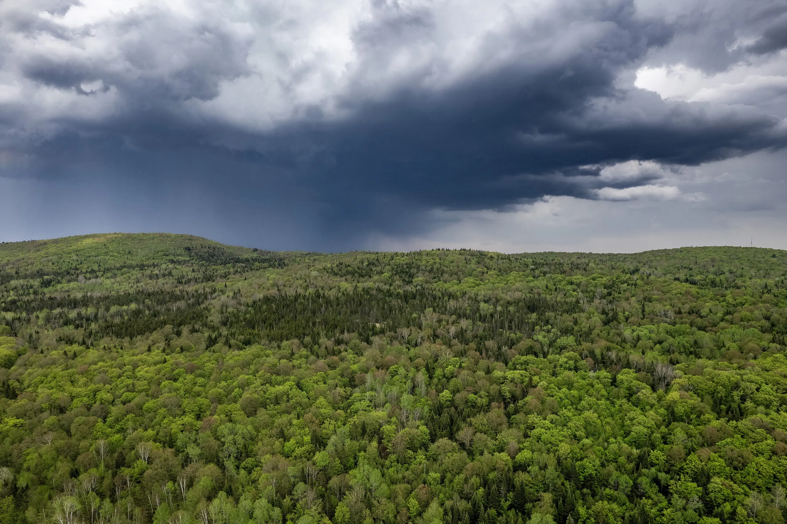 NimbostratusXLIProlonged precipitation, overcast conditions for extended periods
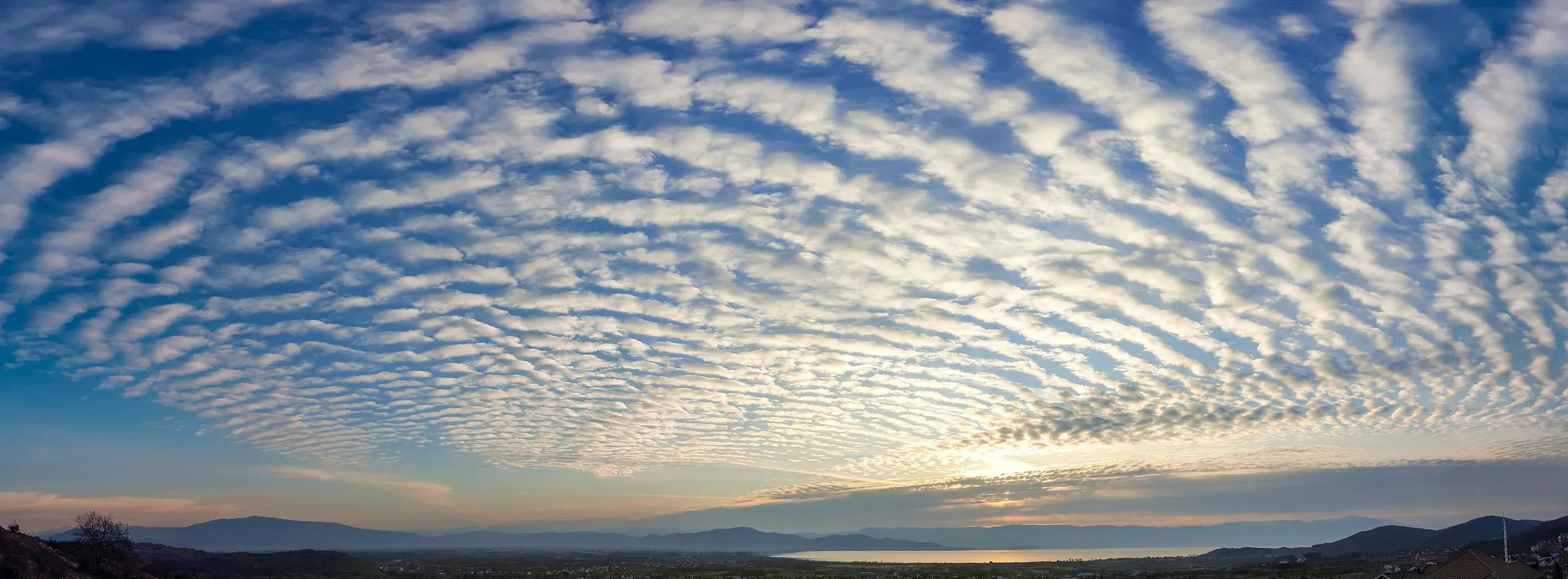 UndulatusXLIIIWind shear between air layers; little direct weather significance
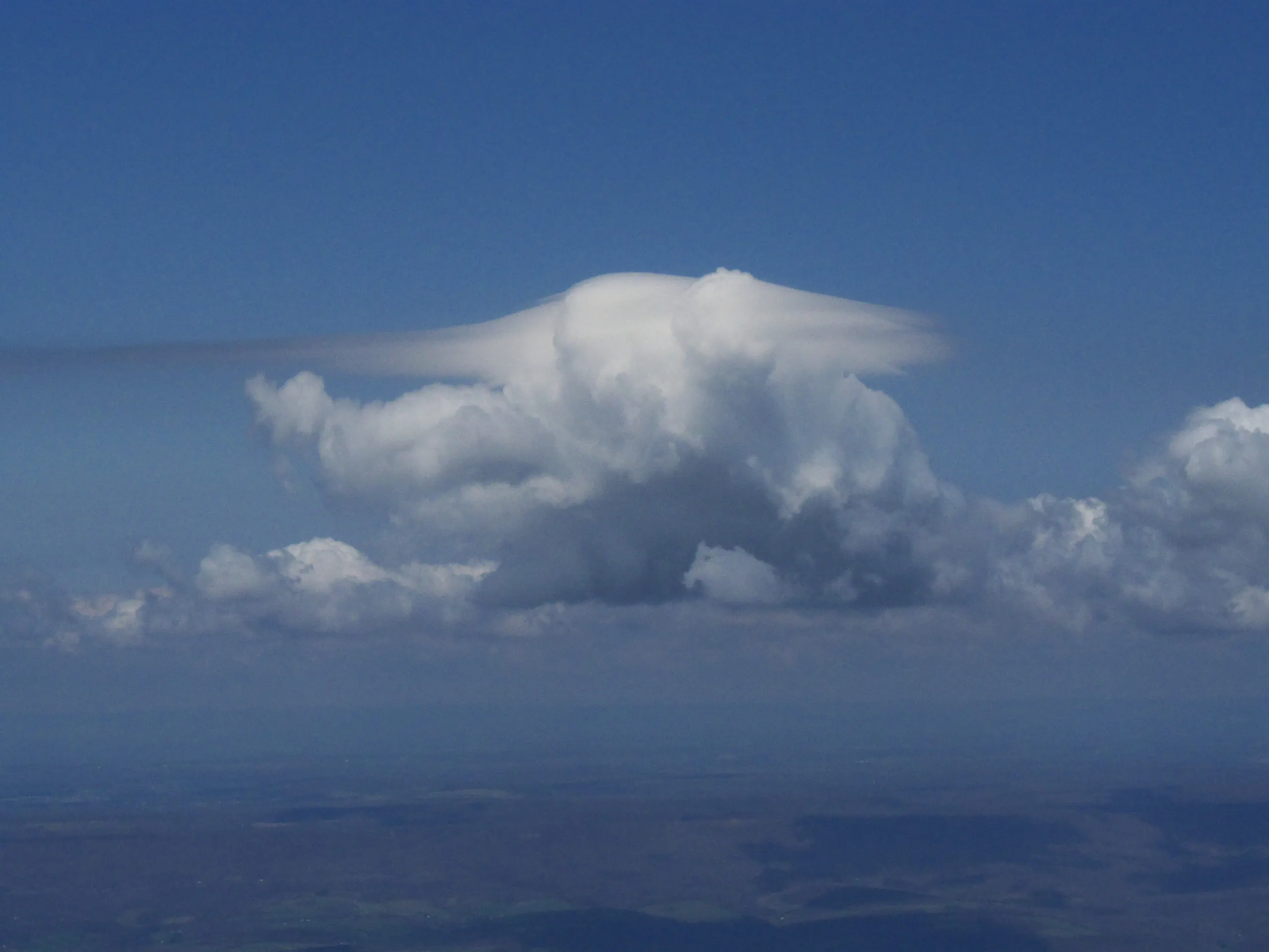 PileusXLVIIVigorous rising convection; a thunderstorm may be developing
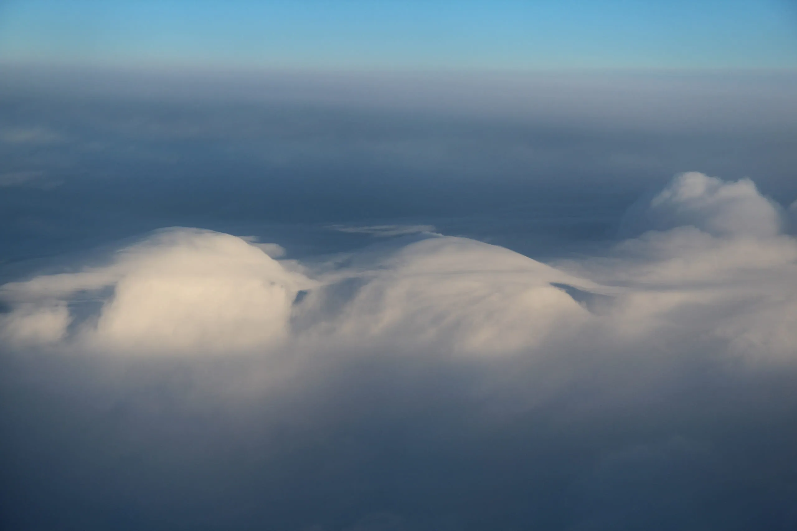 VelumLMoist, stable air pierced by storm towers; convection building
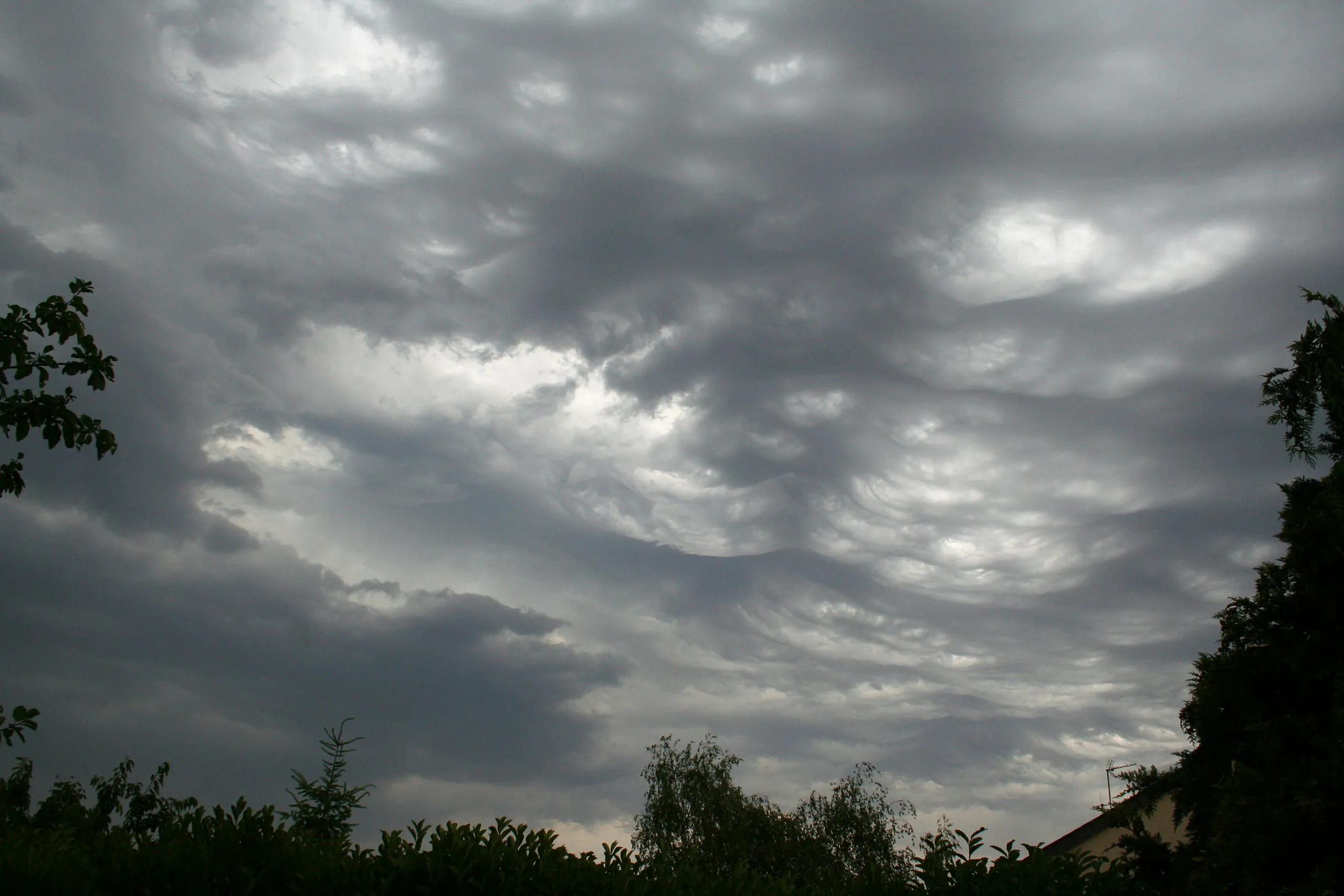 LacunosusLIPockets of sinking air in thin cloud; no weather significance
Low — below 2,000 m17
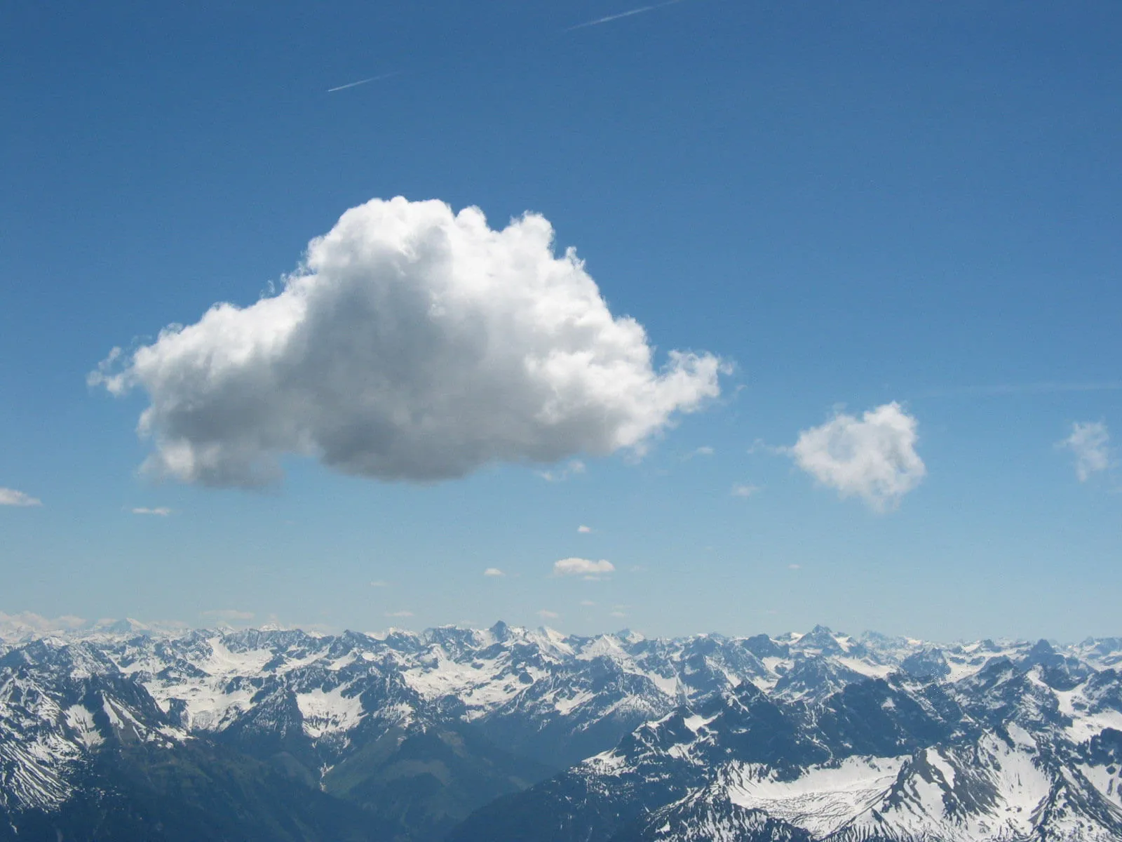 CumulusIFair weather when small; if growing tall, possible showers later
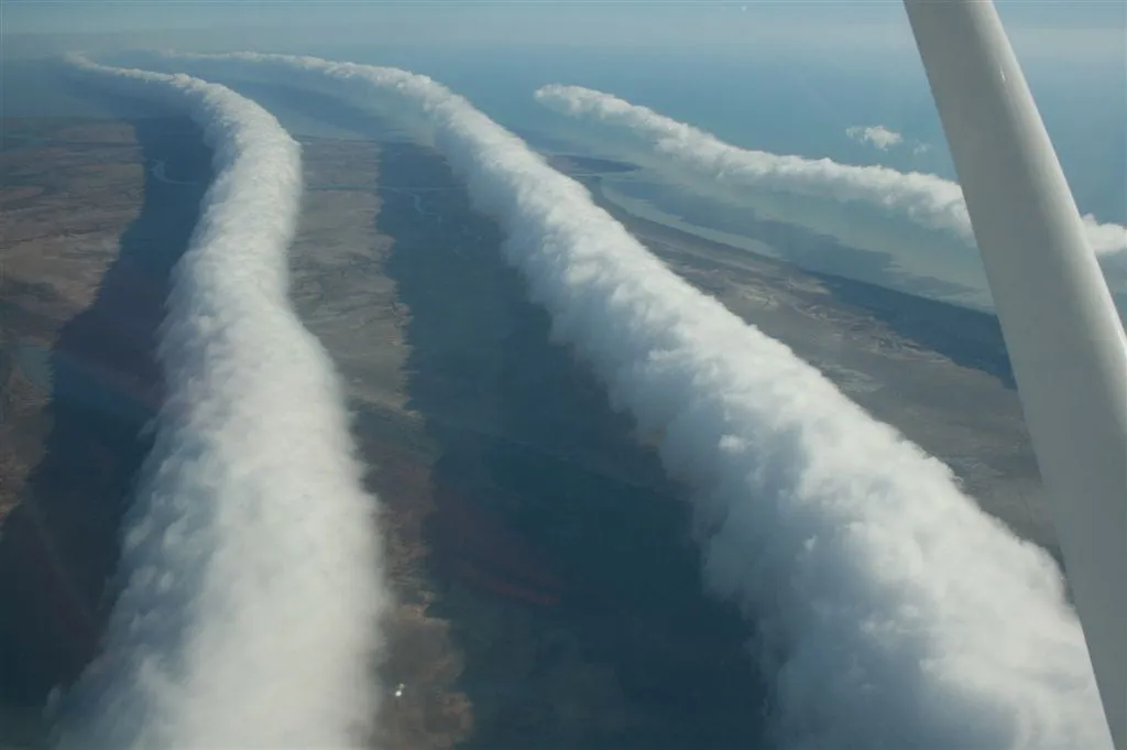 Morning GloryVMarks a passing atmospheric wave; often a sudden wind shift as it arrives
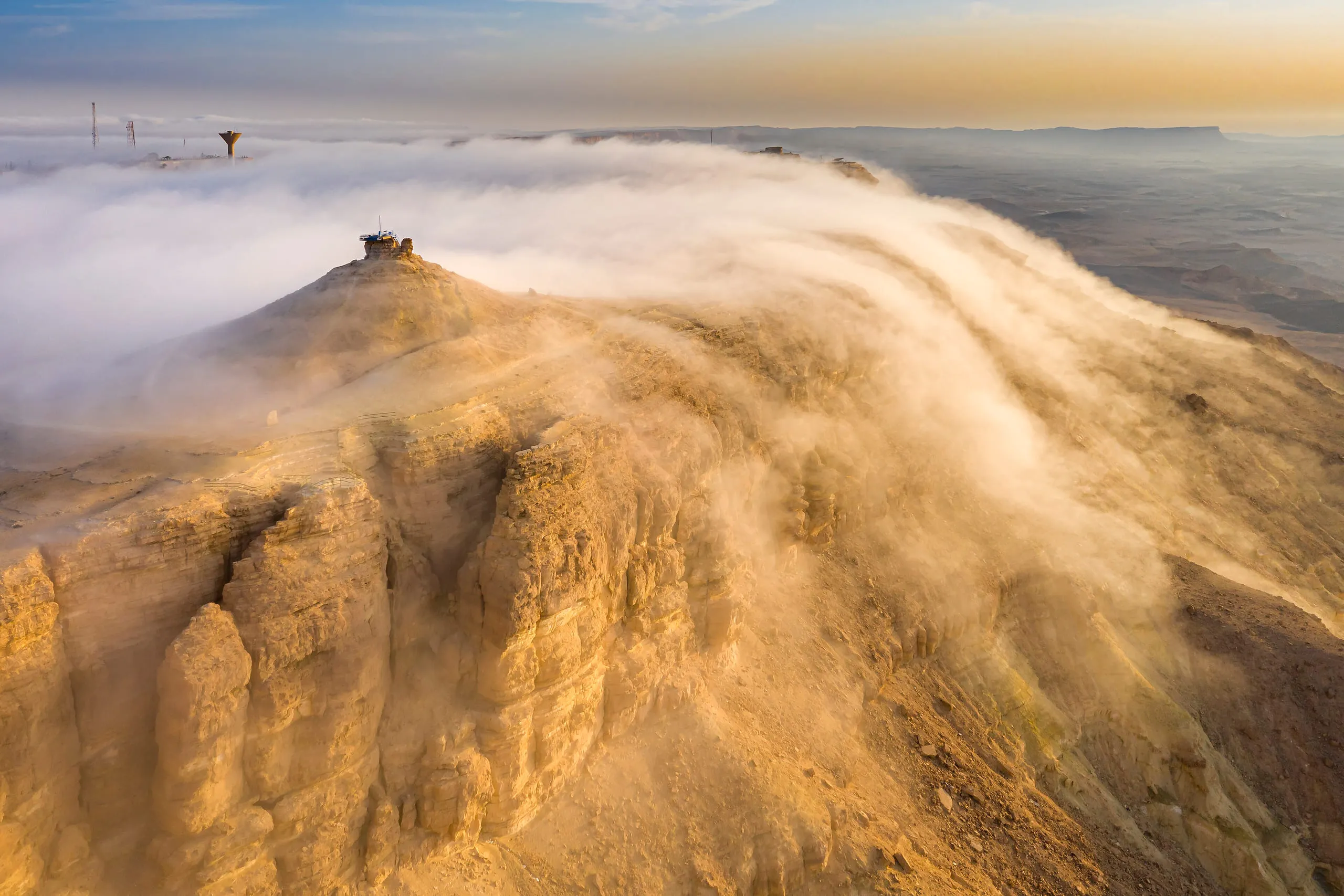 FogIXDamp, calm conditions and poor visibility, often clearing as the day warms
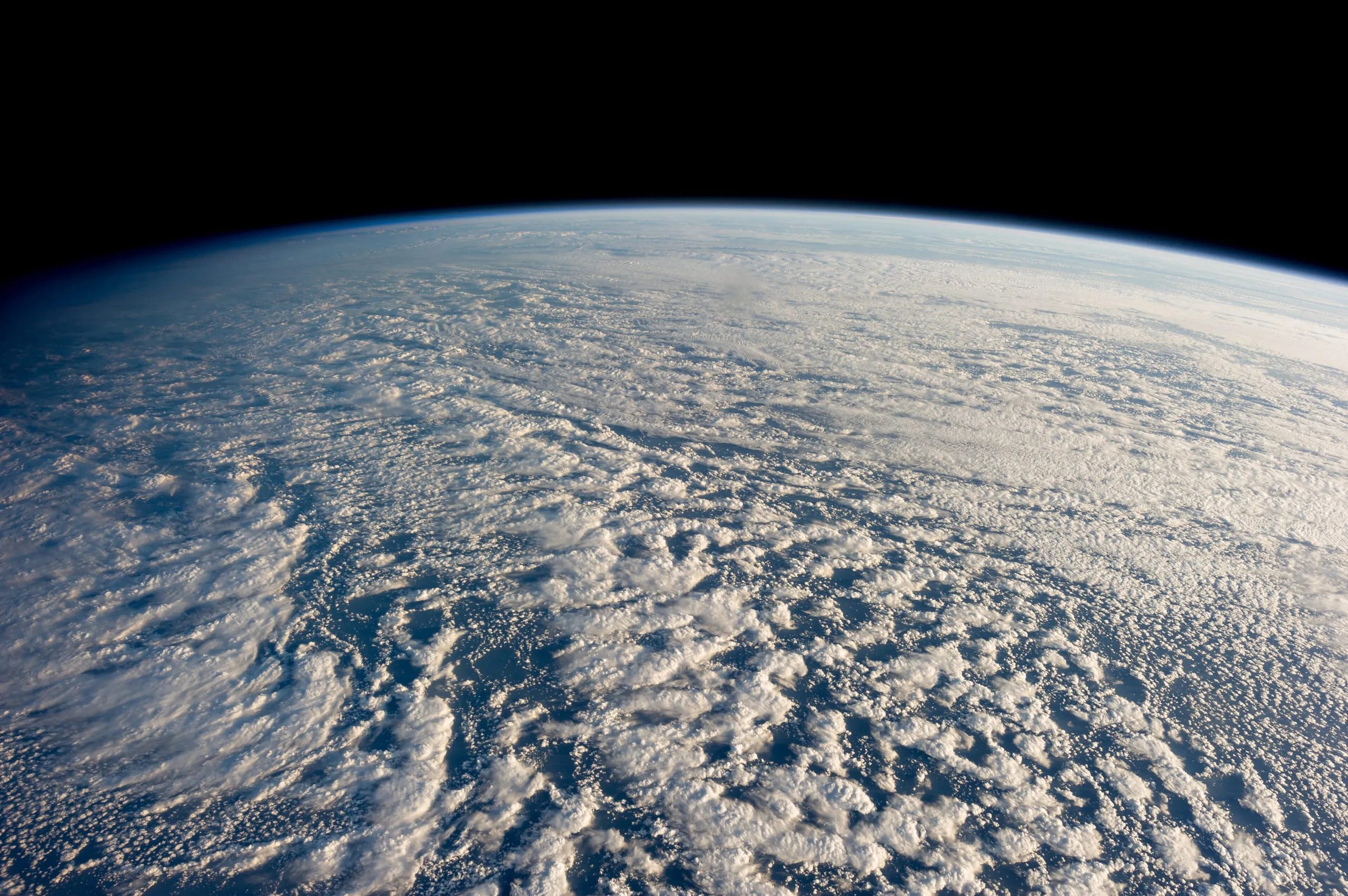 StratocumulusXIGenerally settled weather; often clears by afternoon
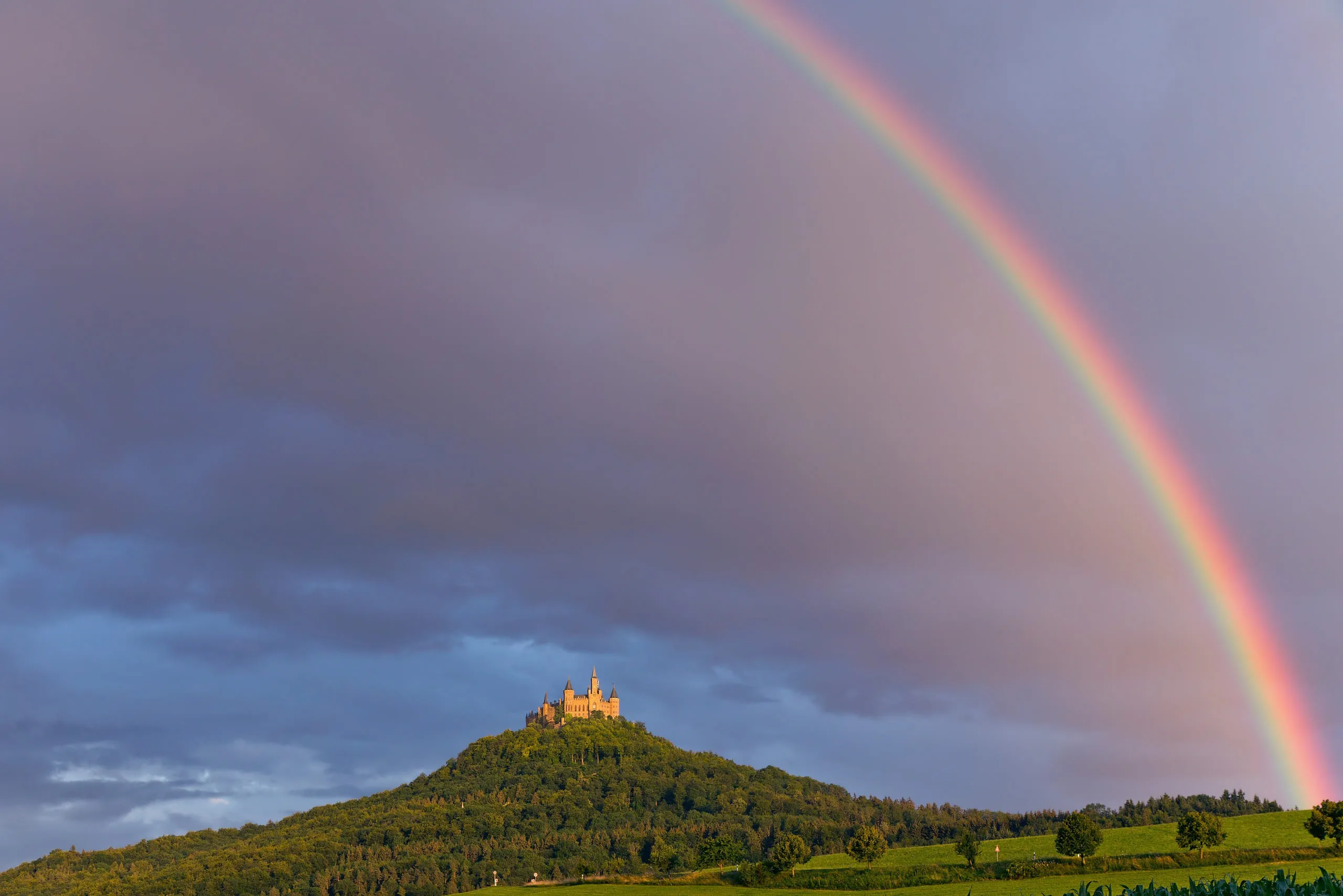 RainbowXIIShowers nearby with sunshine - a sign of scattered, passing rain
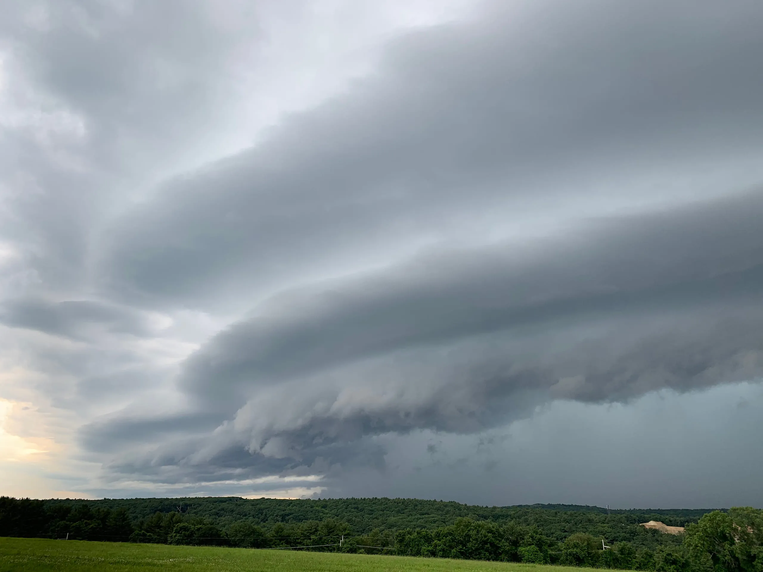 Shelf cloudXIVA thunderstorm's gust front - strong straight-line winds and rain imminent
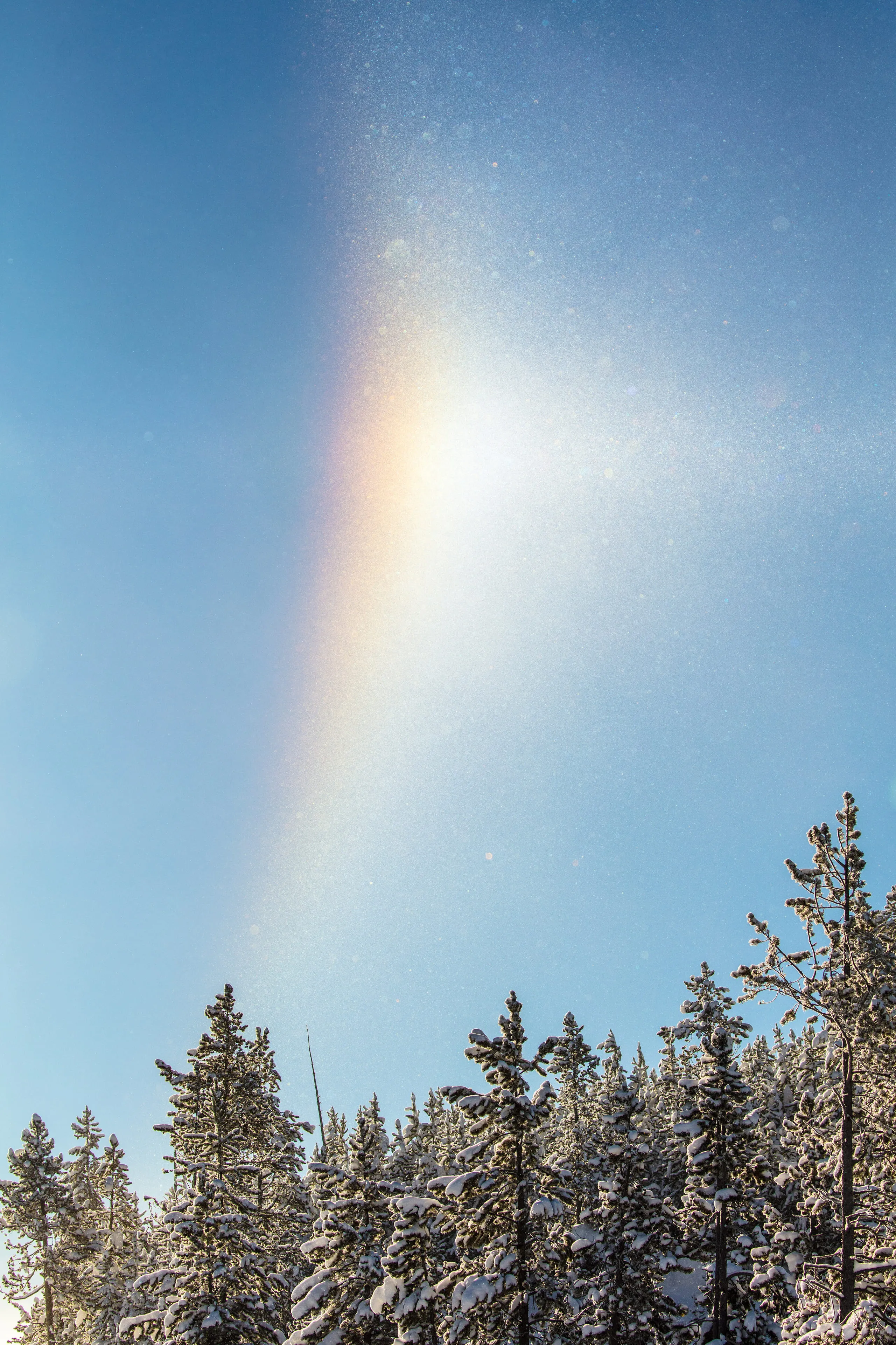 Diamond dustXXIIIVery cold, clear, calm air
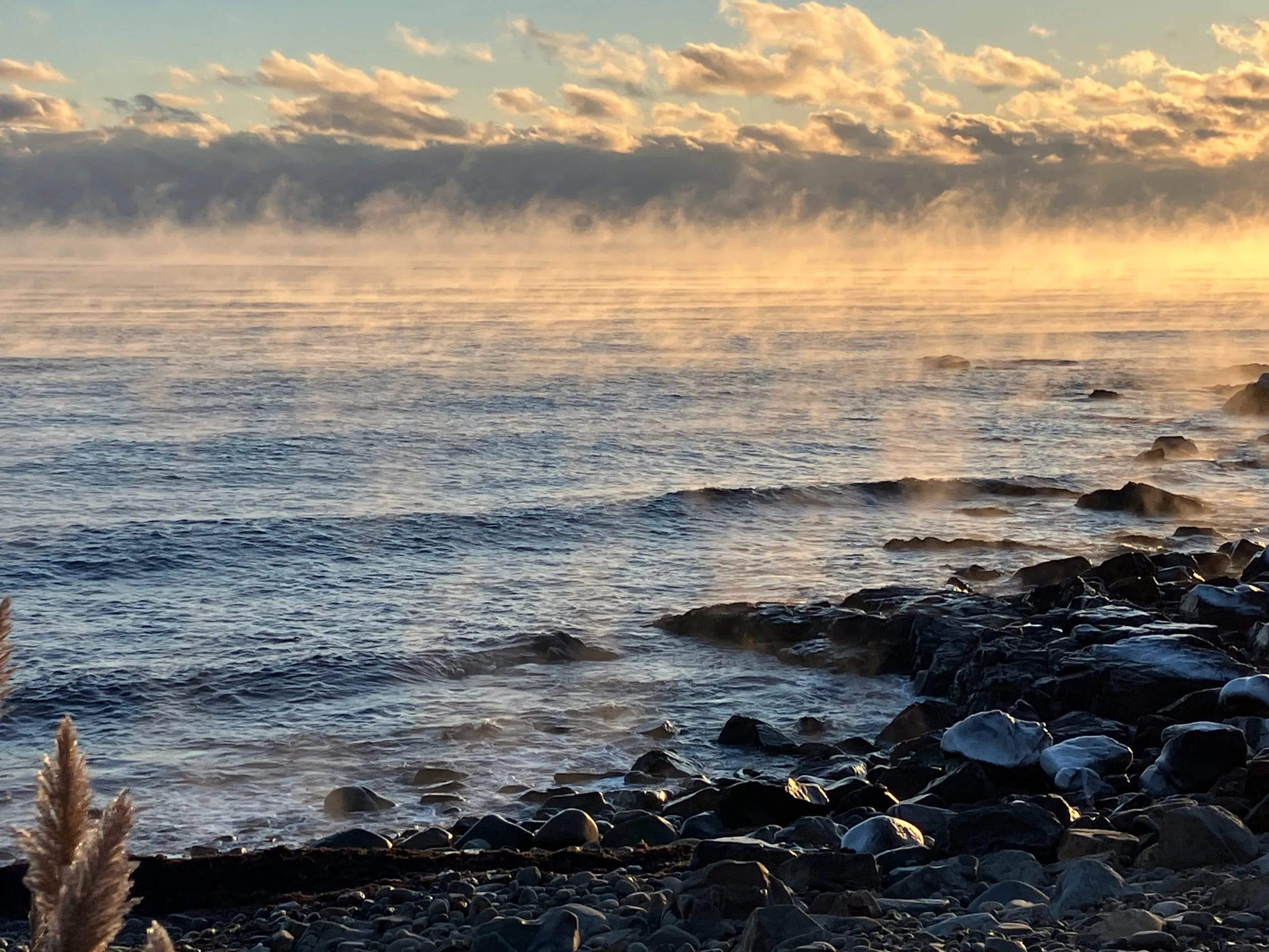 FogbowXXIVFog or thin cloud with a low sun behind you
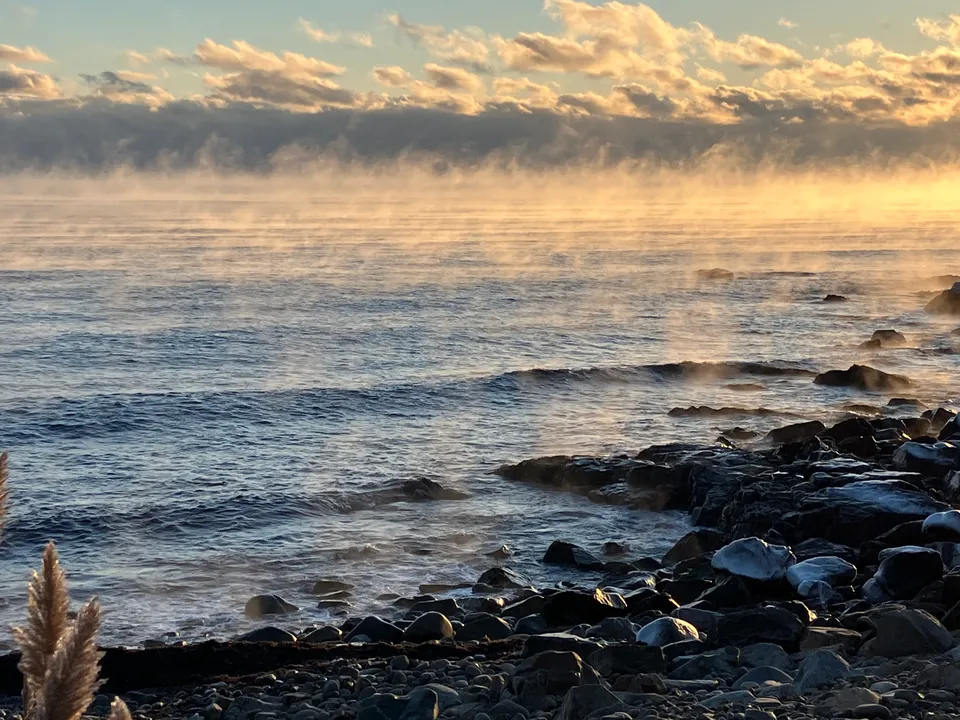 Steam FogXXVIICold air over much warmer water; calm and clear
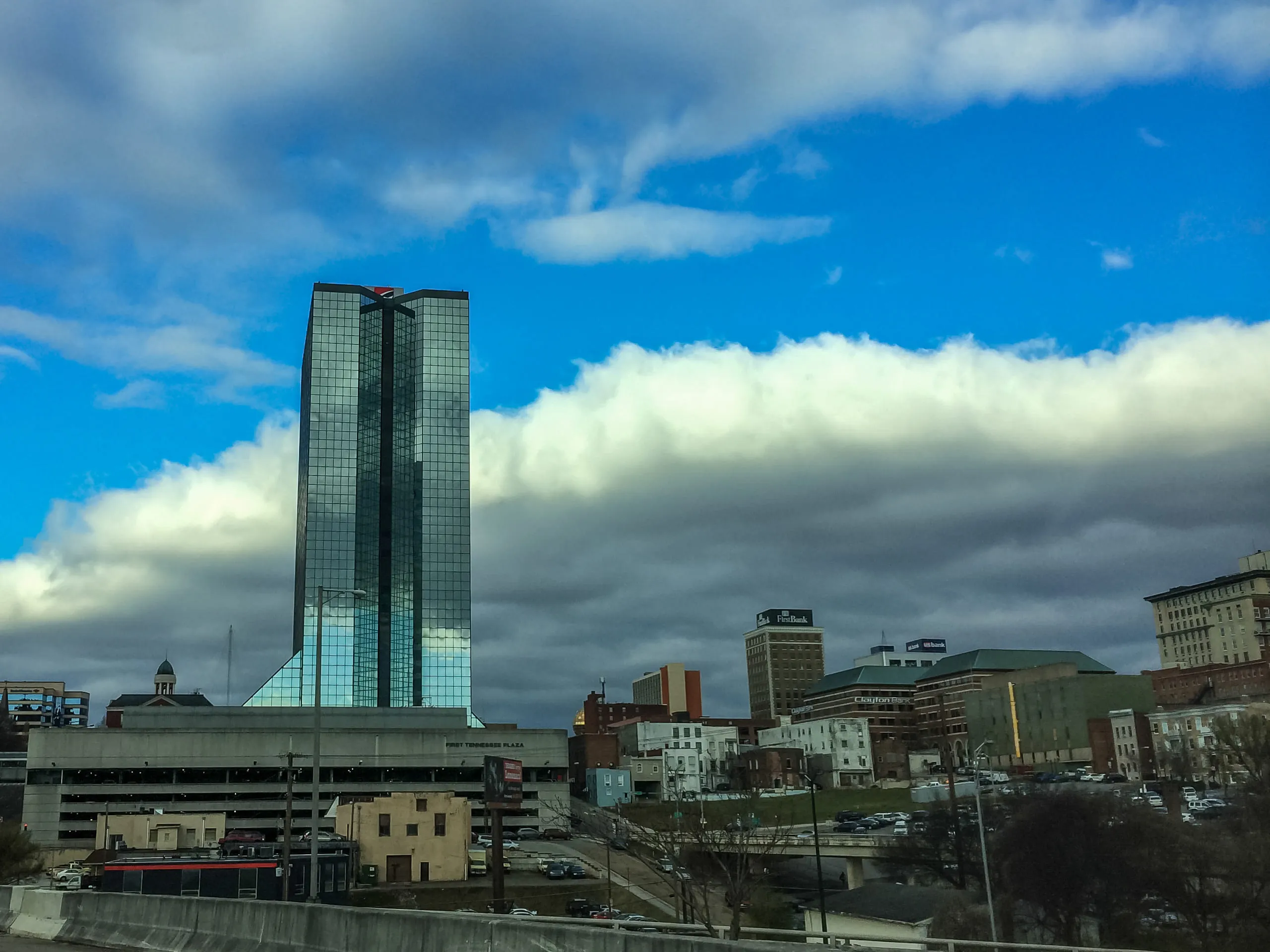 StratusXXXIGrey, overcast conditions; possible light precipitation
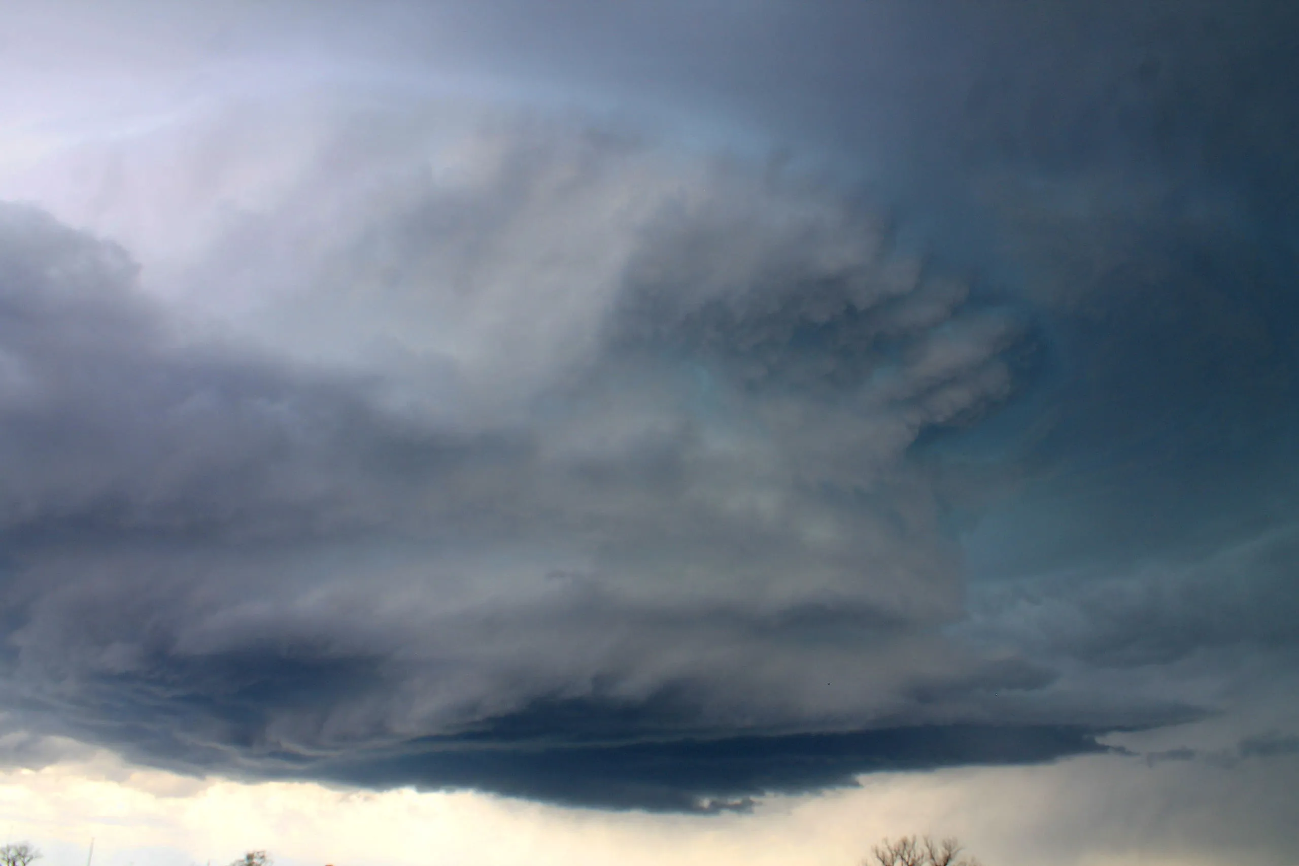 Wall CloudXXXIIA severe storm's updraught - a possible tornado if it begins to rotate
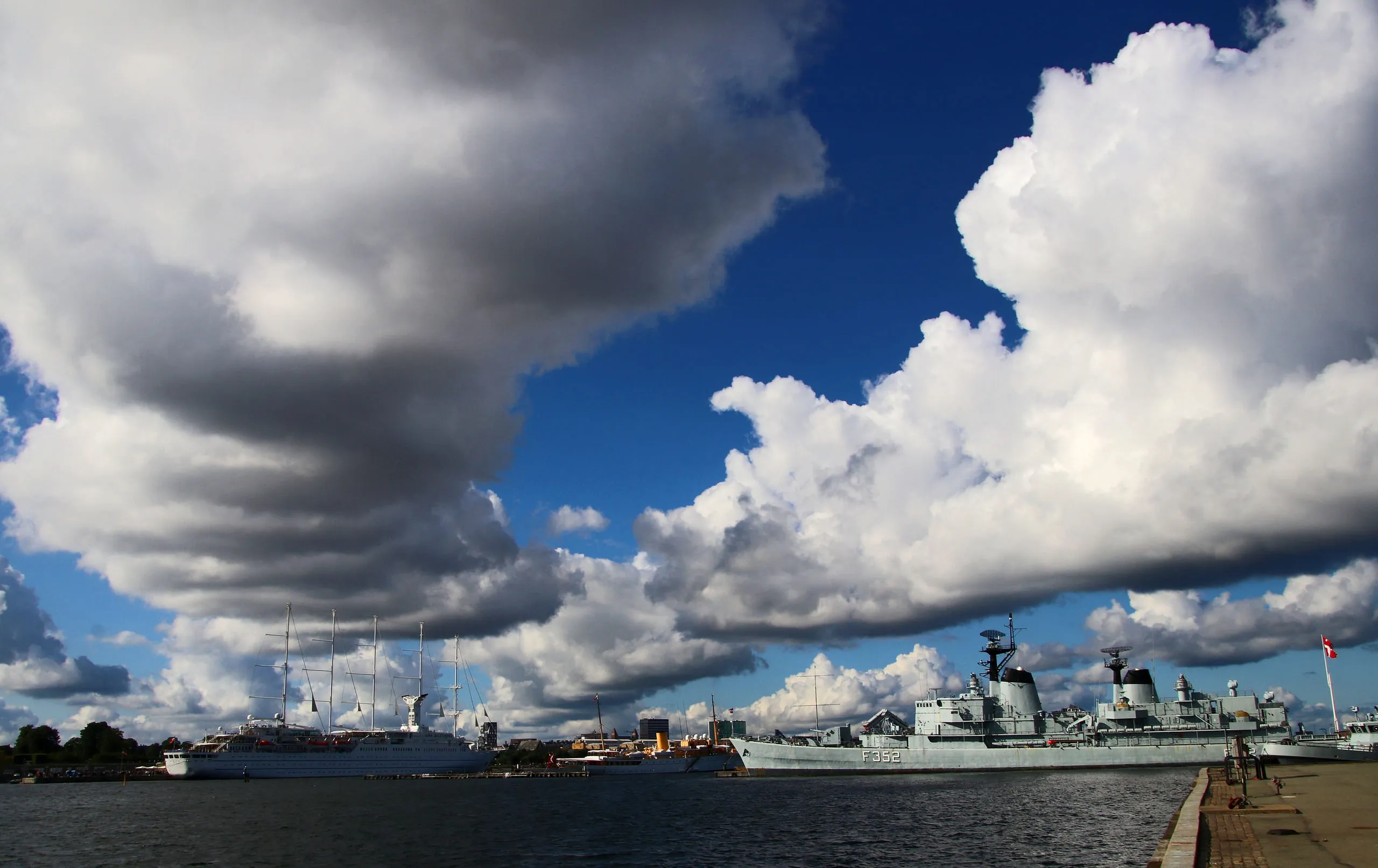 Cloud StreetsXXXVIIICold air streaming over a warmer surface; brisk, fair but cool
CataractagenitusXXXIXLocalised to large waterfalls; no broader weather significance
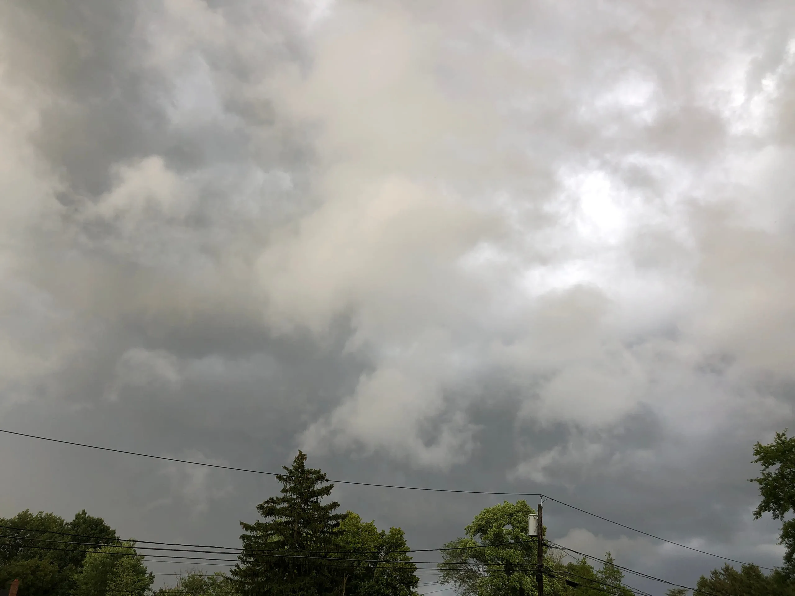 Fractus / ScudXLIVRain falling nearby; gusty, showery conditions
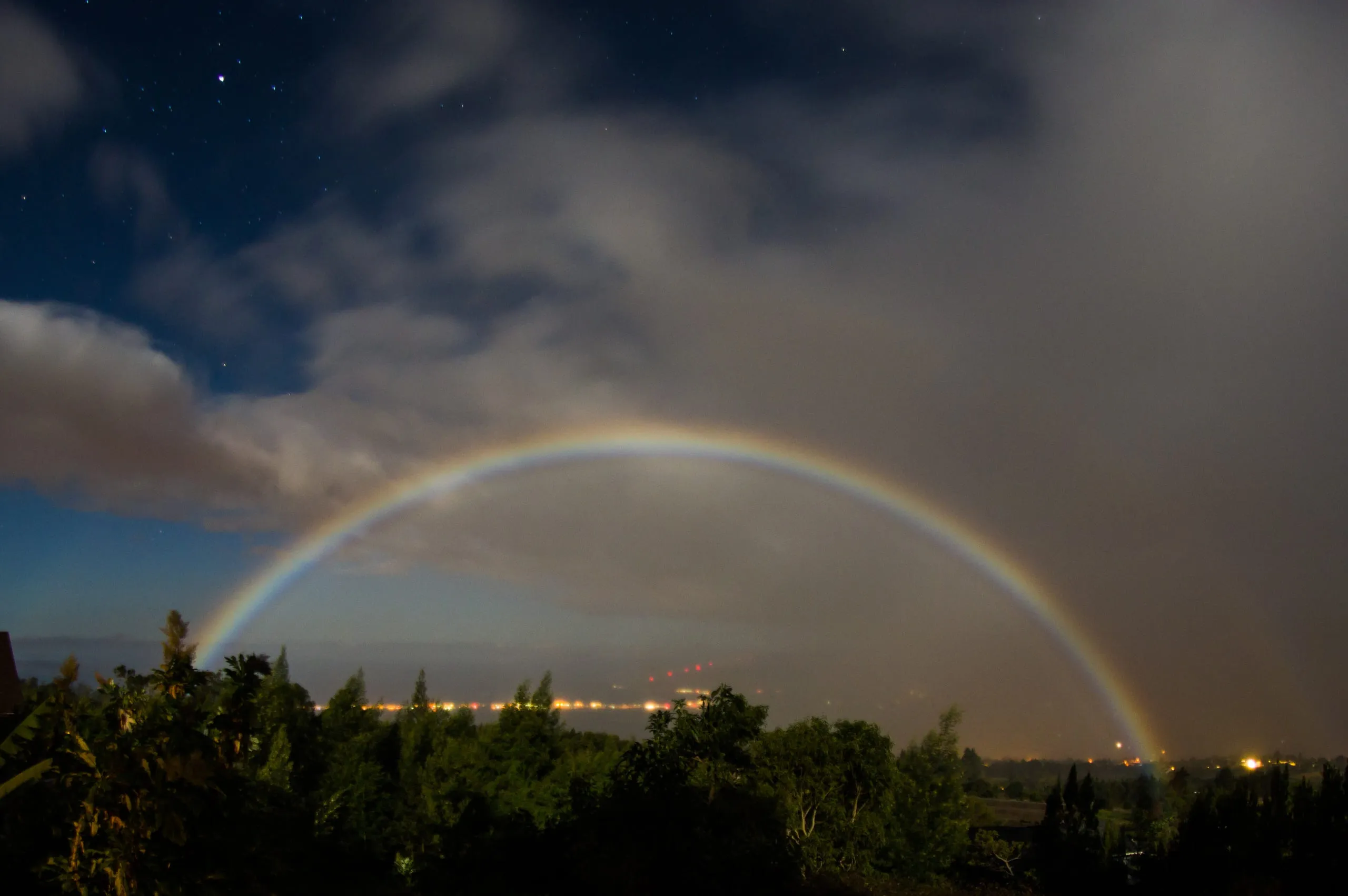 MoonbowXLVRain or spray opposite a bright moon at night
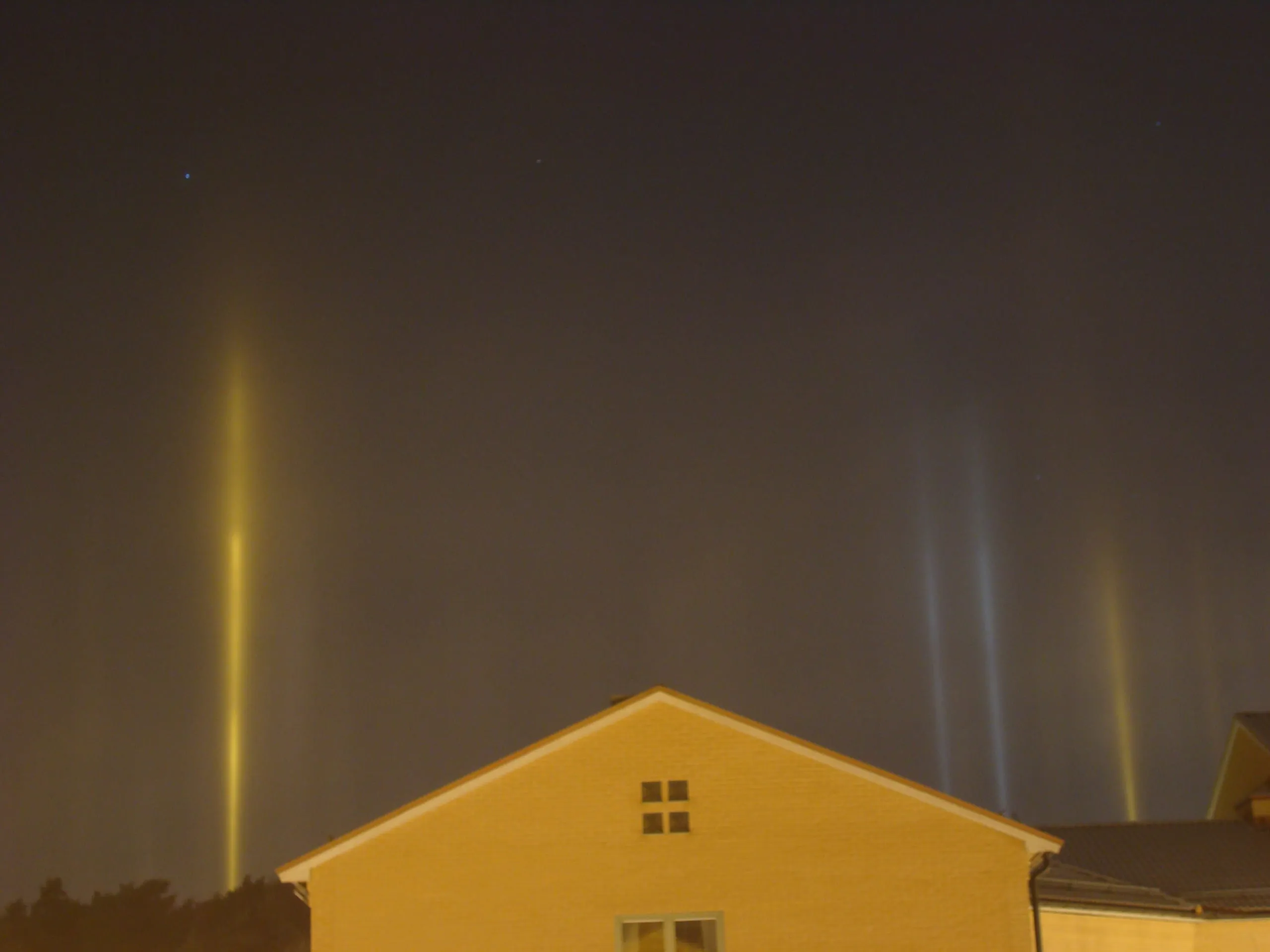 Light PillarsXLIXVery cold, calm night with ice crystals suspended in the air
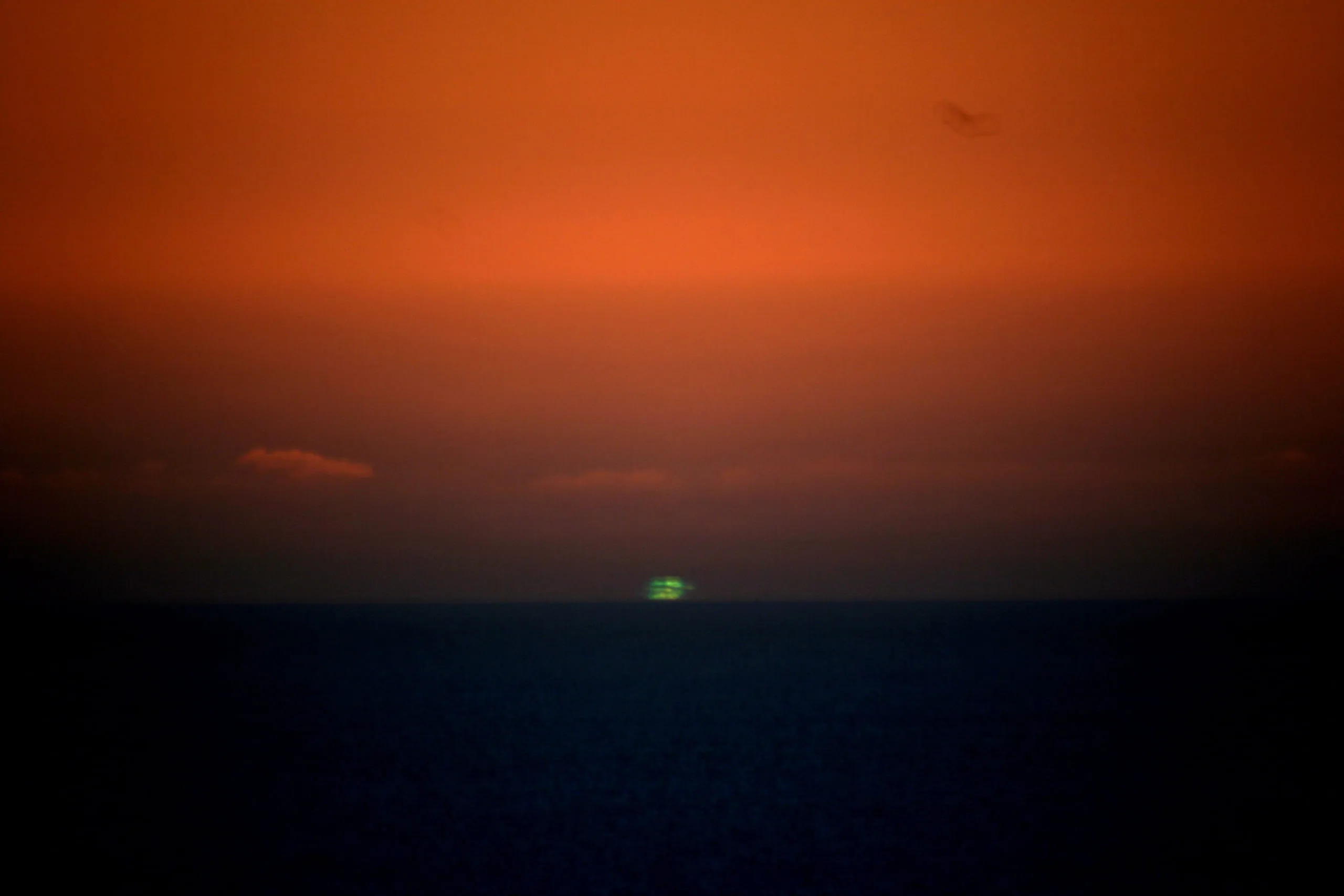 Green FlashLIIClean air over a low, distant horizon at sunset or sunrise
Multi-level — spanning several layers7
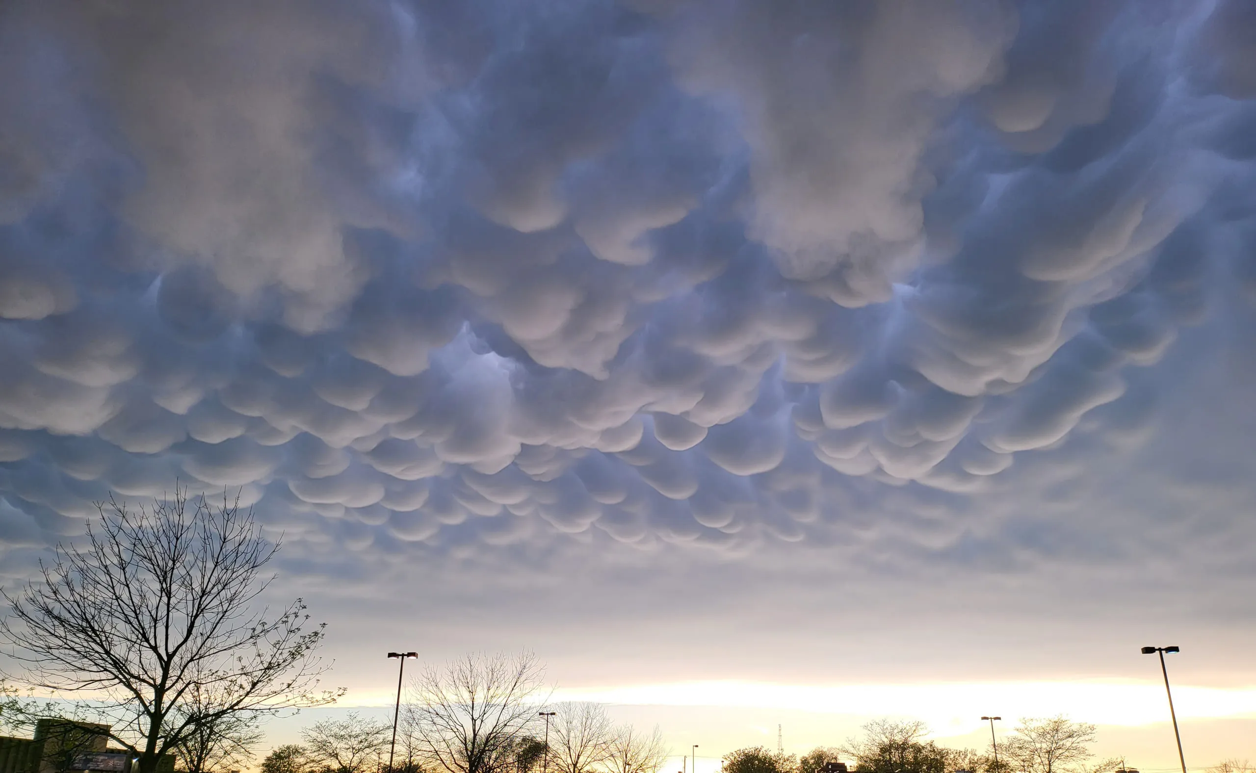 MammatusIISevere weather in the vicinity; often seen during or after thunderstorms
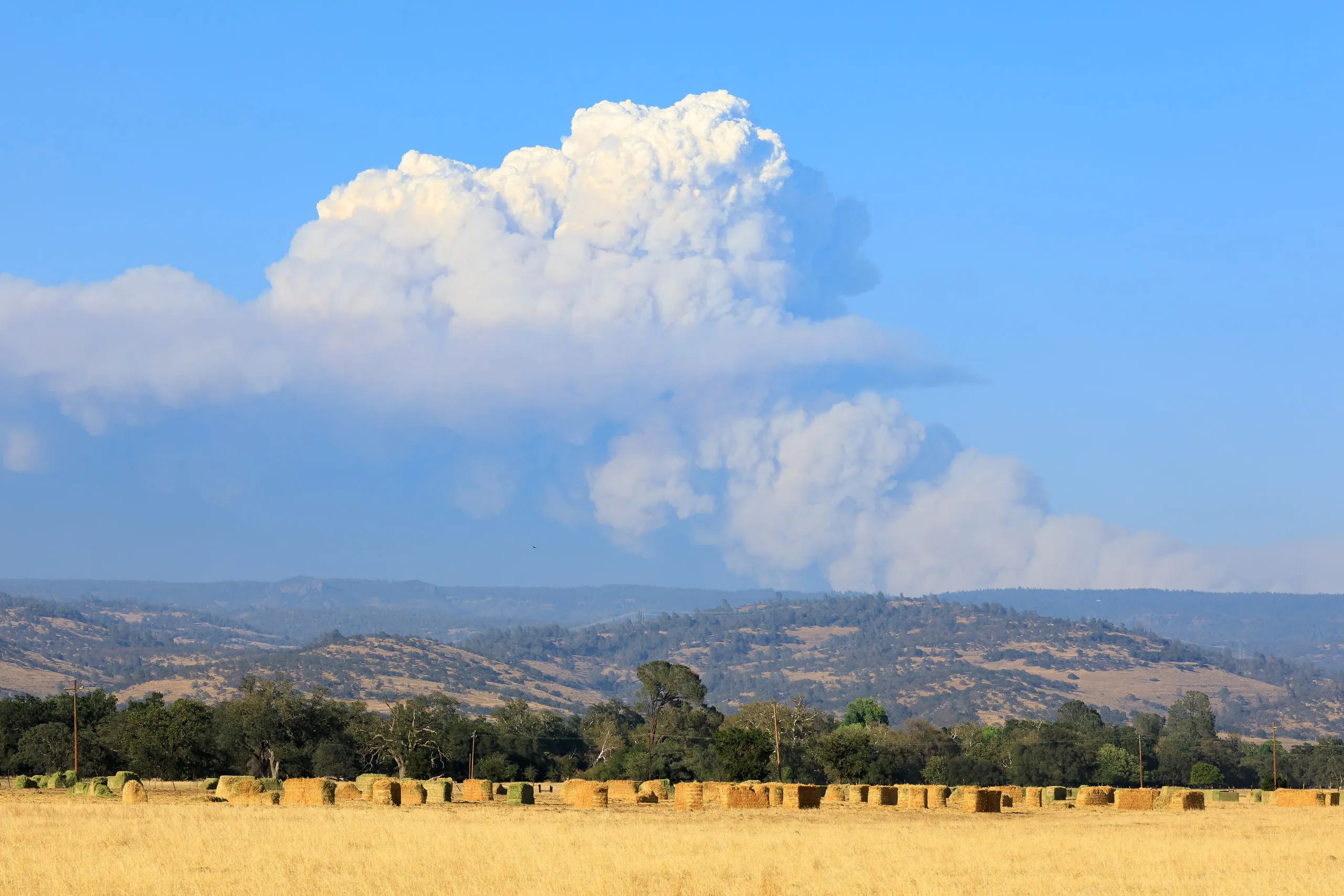 PyrocumulusVIIIMarks intense surface heat (wildfire or volcano); can build into storms
 Crepuscular raysXVBroken cloud with a low sun; little weather significance
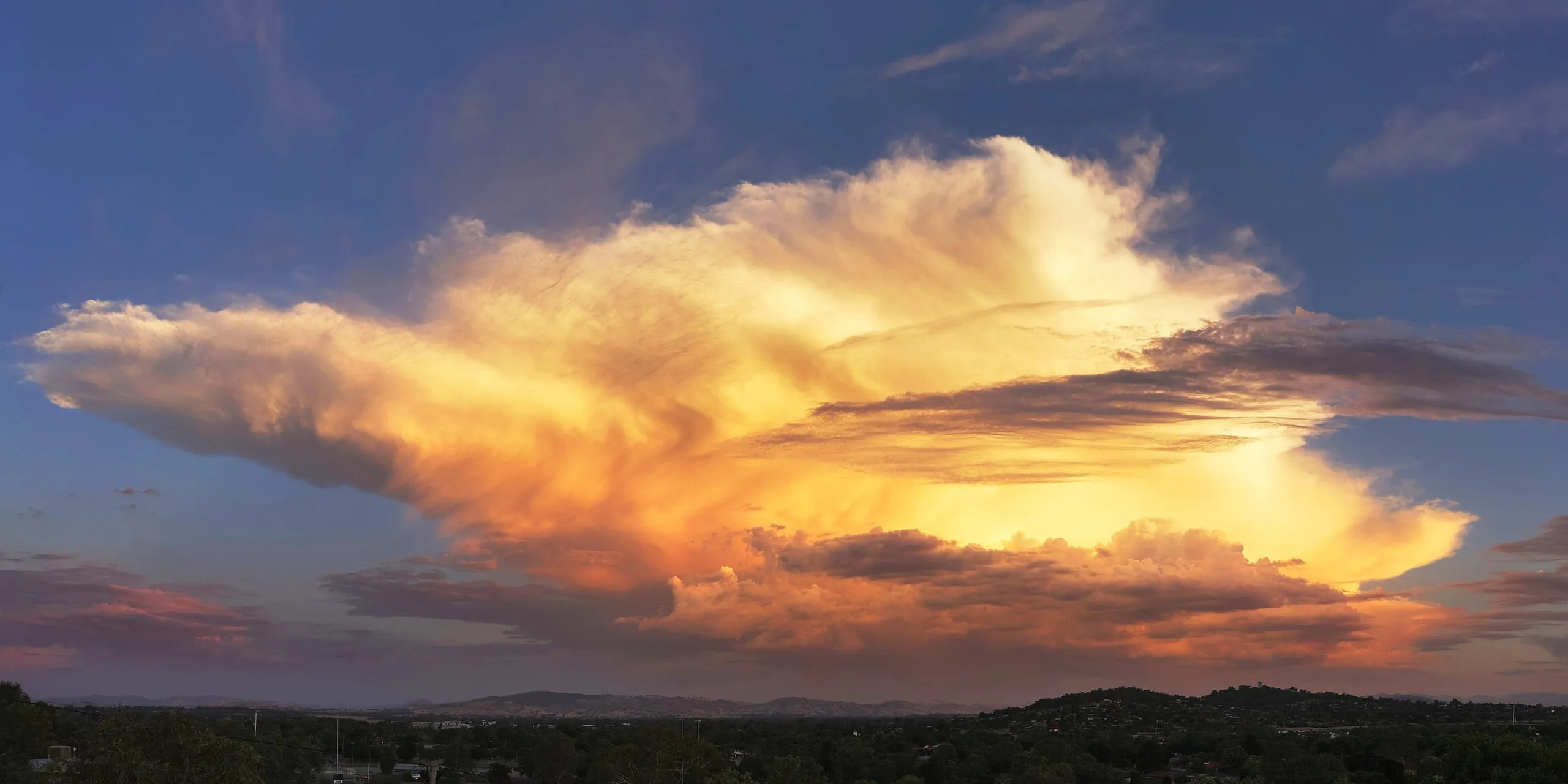 CumulonimbusXXVISevere weather imminent - thunderstorms, heavy precipitation, possible tornadoes
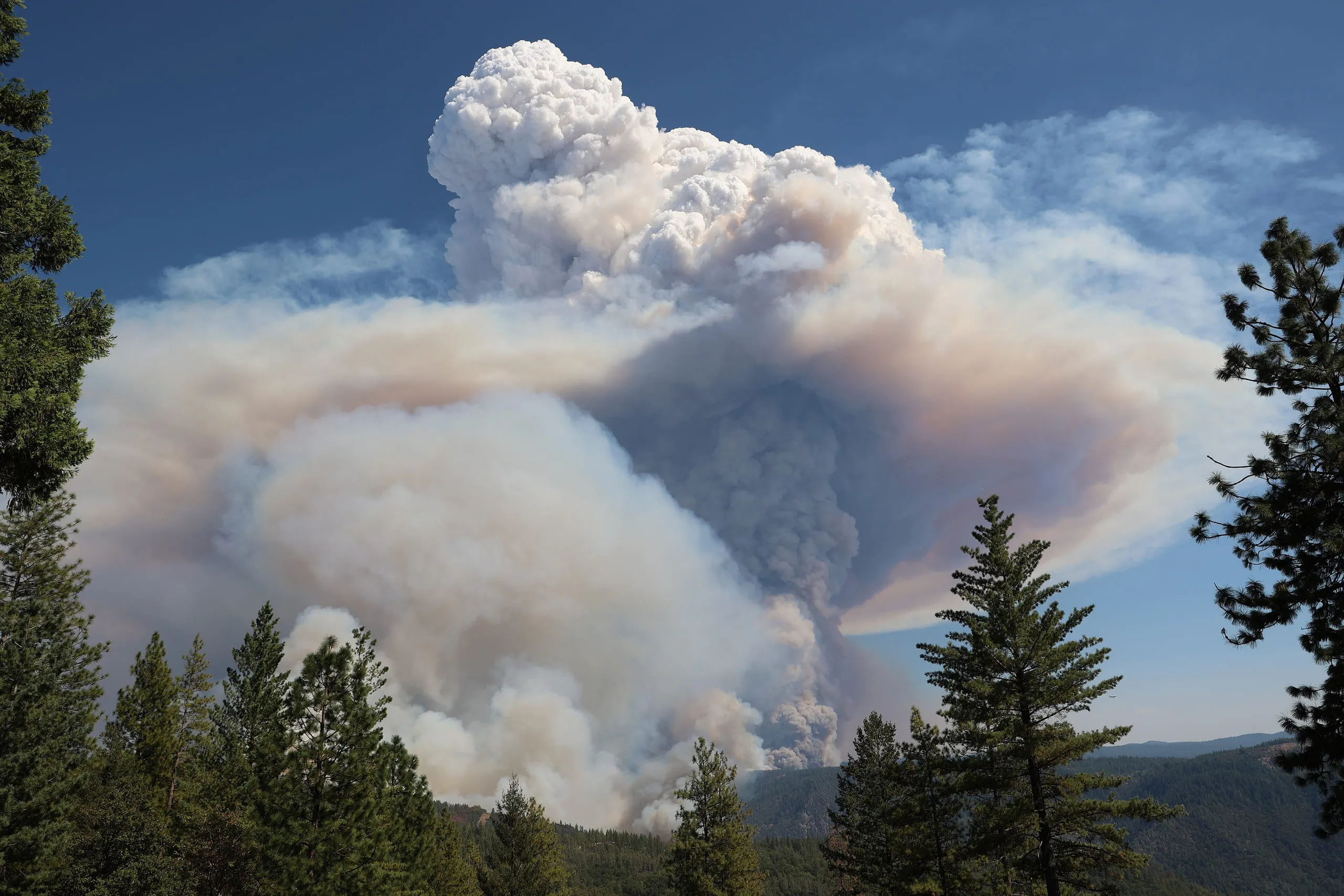 PyrocumulonimbusXXXIVAn extreme fire-driven storm - lightning, fierce gusts, even fire tornadoes
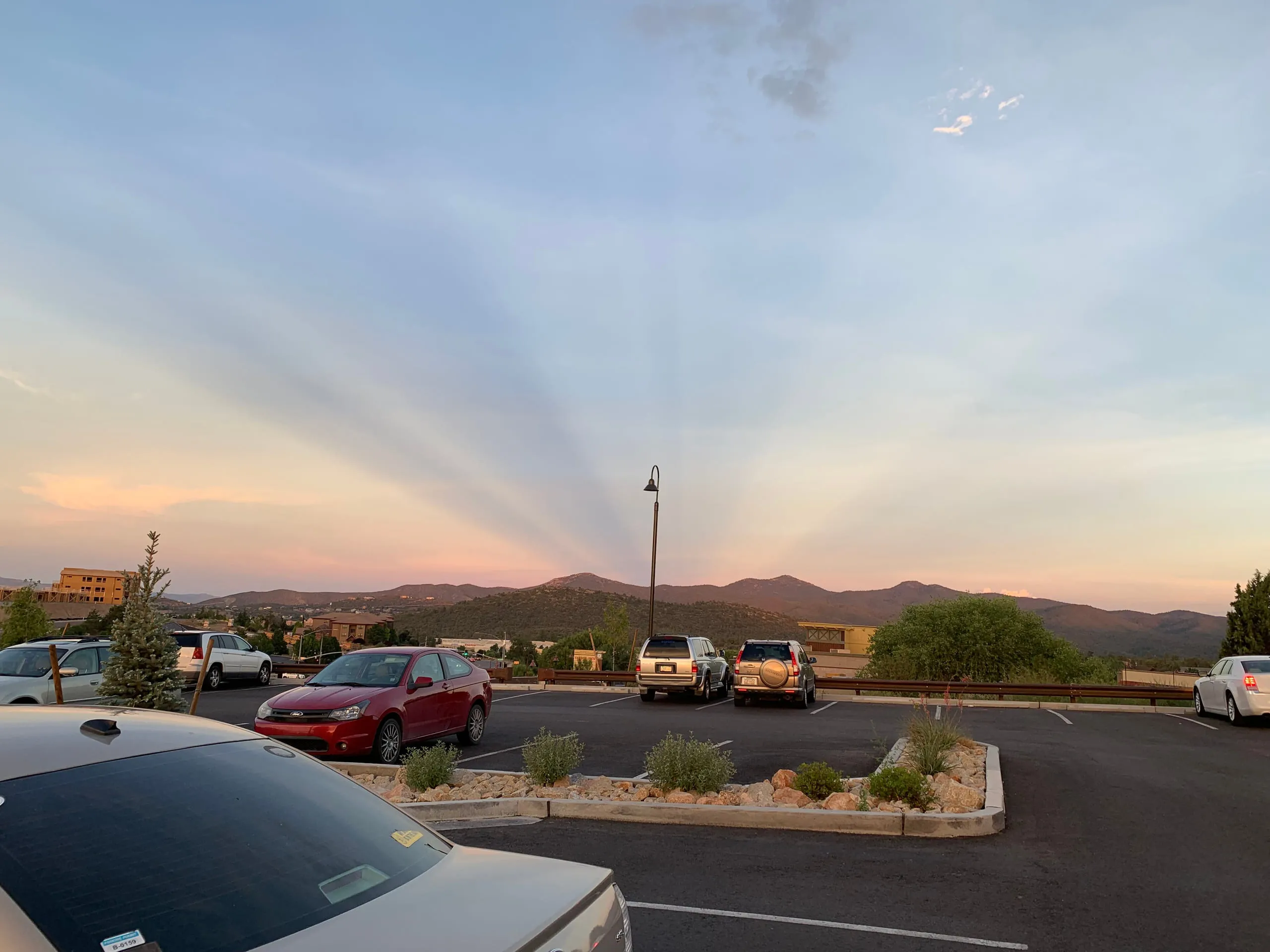 Anticrepuscular RaysXXXVIIBroken cloud with a low sun; little weather significance
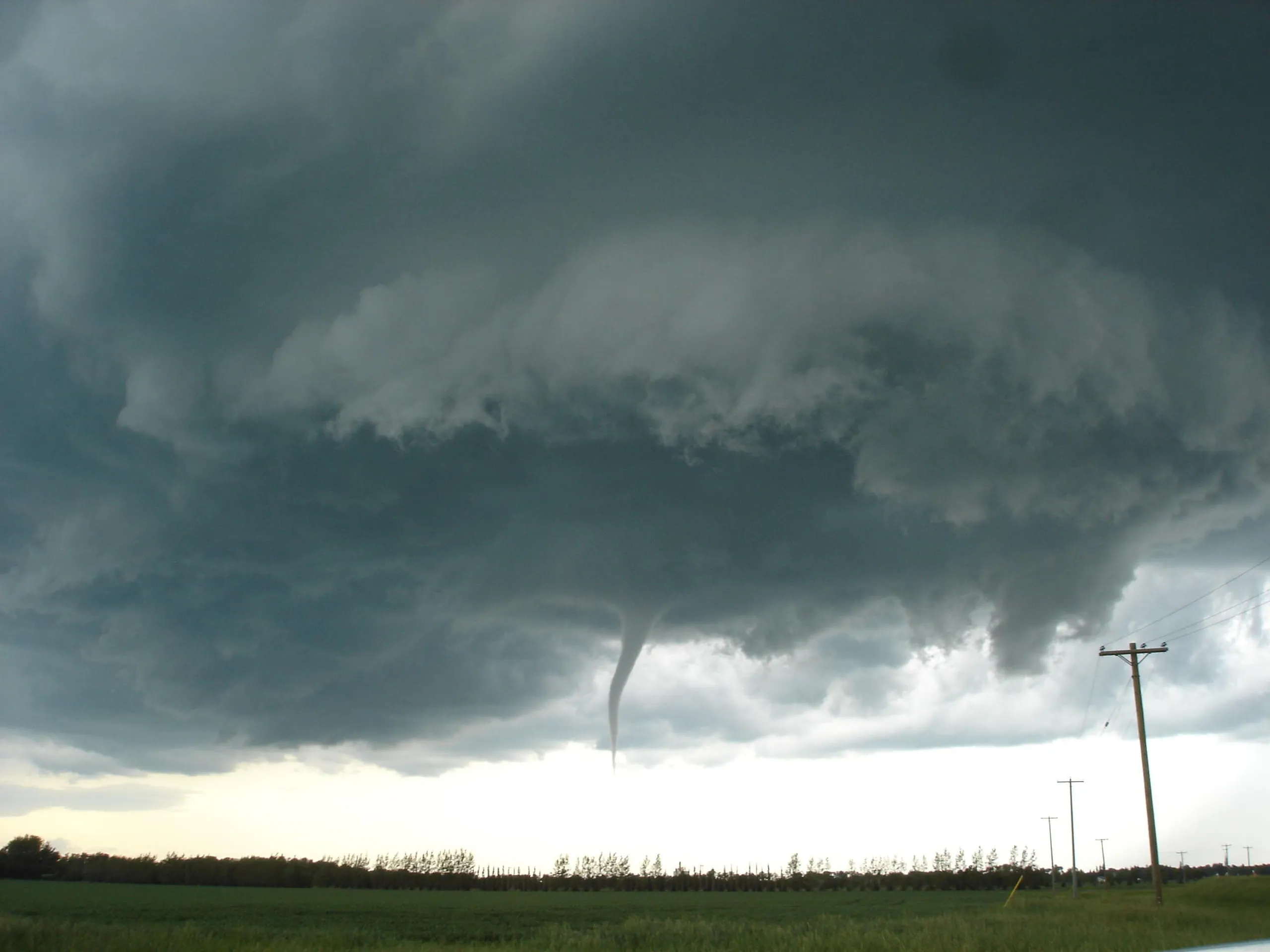 Funnel Cloud & TornadoXLA severe rotating storm - destructive winds if it reaches the ground