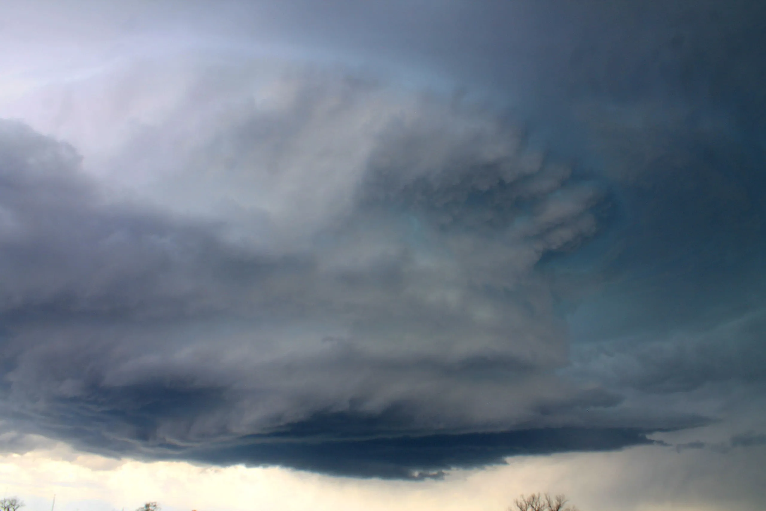
A wall cloud — officially murus — is a localised, often abrupt lowering of cloud from the base of a cumulonimbus, usually beneath a supercell or severe storm. It forms in the rain-free area beneath the storm's strongest updraught, where rain-cooled, very humid inflow air condenses at a lower level than the surrounding cloud base. When a wall cloud shows clear rotation, it can spawn a funnel cloud or tornado.
Worth knowing
A rotating wall cloud is direct visual evidence of a mesocyclone — the spinning heart of a supercell — and most strong tornadoes descend from one, which is why storm spotters watch a wall cloud so closely.
Note
Still unsure it's the same cloud? Our app, Cloud Point— on iOS and Android — reads a photo and returns the likely type with altitude, useful when a formation is fading faster than you can look it up.