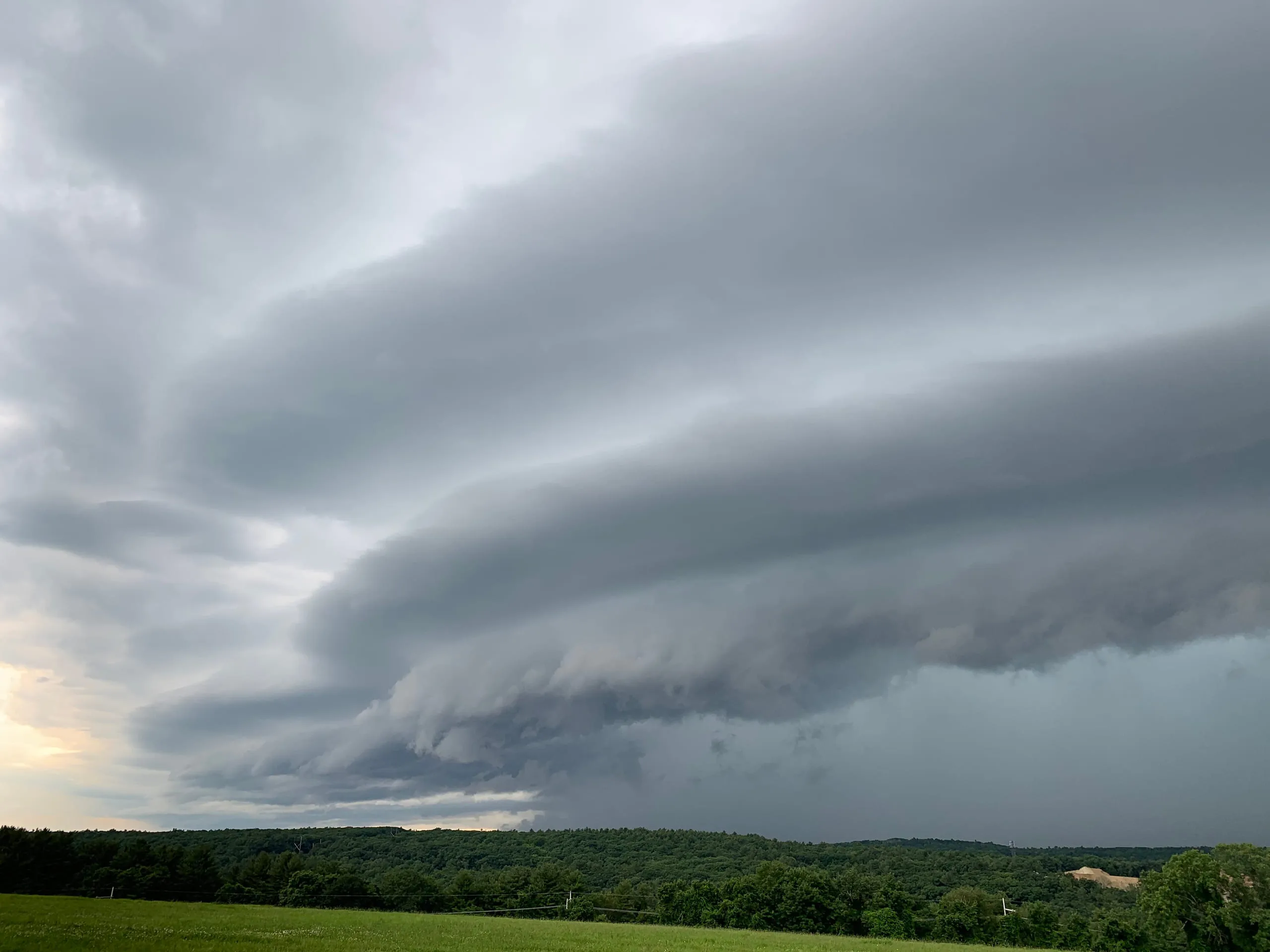
A shelf cloud is a long, low, wedge-shaped cloud that hangs across the leading edge of an advancing thunderstorm, often looking like a vast ramp lowering from the sky. It forms as cold air spilling out of the storm wedges beneath the warm, moist air ahead and shoves it upward to condense. When you see one bearing down, the storm's gusty winds and rain are usually only moments away.
Worth knowing
A shelf cloud is often mistaken for a tornado-maker, but it's the opposite kind of feature: it rides the storm's outflow and doesn't rotate. Its real threat is sudden, strong straight-line gust-front winds.
Note
Still unsure it's the same cloud? Our app, Cloud Point— on iOS and Android — reads a photo and returns the likely type with altitude, useful when a formation is fading faster than you can look it up.