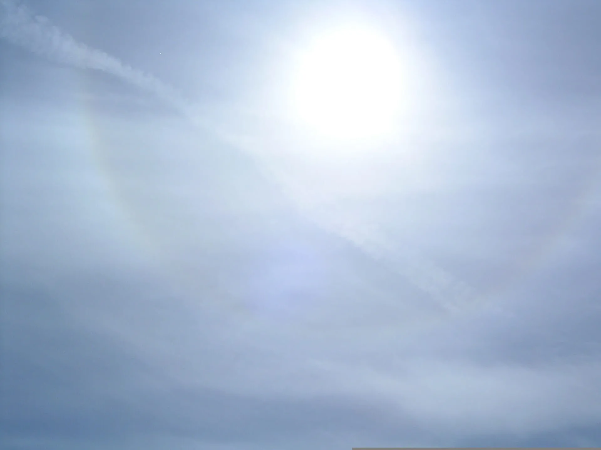
Cirrostratus is a transparent, whitish veil of high cloud, fibrous or smooth in texture, that partly or wholly covers the sky and generally produces halos. It forms from slowly, gently rising moist air in the high troposphere, and can also grow from spreading contrails. It frequently appears ahead of a warm front, so a sky that whitens and thickens with cirrostratus is a classic early sign of an approaching weather system.
Worth knowing
The 22° halo is the span of an outstretched hand at arm's length from the Sun.
Halos occur because cirrostratus ice crystals are hexagonal, bending light at specific angles.
Ancient sailors used cirrostratus halos to predict storms - 'Ring around the Moon means rain soon!'
These clouds can cover the entire sky yet be so thin that stars remain visible at night.
Note
Still unsure it's the same cloud? Our app, Cloud Point— on iOS and Android — reads a photo and returns the likely type with altitude, useful when a formation is fading faster than you can look it up.