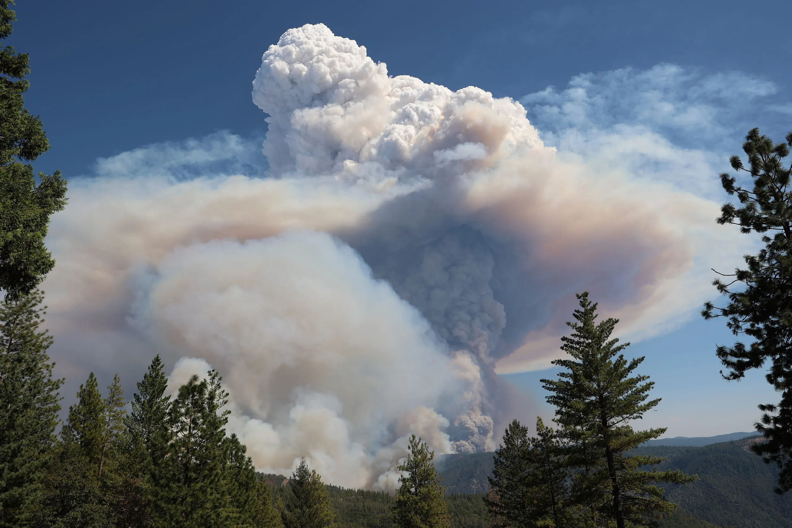
A pyrocumulonimbus is a full thunderstorm cloud generated by the intense heat of a large wildfire or volcanic eruption. The fire's super-heated updraught lofts smoke, ash and moisture upward; as that air rises and cools, moisture condenses and the plume builds into a towering cumulonimbus. The WMO names it cumulonimbus flammagenitus — 'fire-made'. It can produce lightning, fierce gusts, hail and even fire tornadoes, yet often gives little rain.
Worth knowing
During Australia's 2019–20 'Black Summer', an outbreak of pyrocumulonimbus injected roughly a million tonnes of smoke into the stratosphere — comparable to a moderate volcanic eruption — and the aerosols circled the globe for months.
Note
Still unsure it's the same cloud? Our app, Cloud Point— on iOS and Android — reads a photo and returns the likely type with altitude, useful when a formation is fading faster than you can look it up.